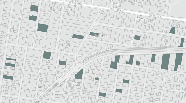
Planning Overlays
Planning overlays are regulatory tools used in urban planning to manage specific geographic areas based on unique environmental, historical, or infrastructural characteristics. These overlays impose additional controls and guidelines on top of the base zoning to address issues such as flood risk, heritage conservation, environmental protection, and landscape preservation. They ensure that developments within these areas are conducted in a manner that mitigates risks, protects significant features, and maintains the overall character and sustainability of the community. By applying tailored requirements, planning overlays help balance development needs with the protection of vital community assets and natural resources.
Find out more about the following overlays:
BMO - Bushfire Management Overlay
ESO - Environmental Significance Overlay
VPO - Vegetation Protection Overlay

What does my plan include?
Paid yearly Paid monthly | Starter Free | Standard | Advanced | Enterprise Contact Sales |
|---|---|---|---|---|
Additional cost per member | ||||
Property Information | ||||
... and many more | ||||
Map Views | ||||
ICEYE Flood Layer? | ||||
Metromap high resolution aerial imagery? | ||||
... and many more | ||||
Tools | ||||
Measuring tools? | ||||
Planning permit filtering? | ||||
Planning permit alerts? | 10 per member | Unlimited | Unlimited | |
Save properties to Projects? | ||||
Site Consolidation ? | ||||
... and many more | ||||
Documents & Reports | ||||
Title and Document searches? | ||||
Premium property reports | 10 per member | Unlimited | Unlimited | |
... and many more | ||||
Business Features | ||||
Credit terms available | ||||
... and many more | ||||
