Landchecker For Valuers
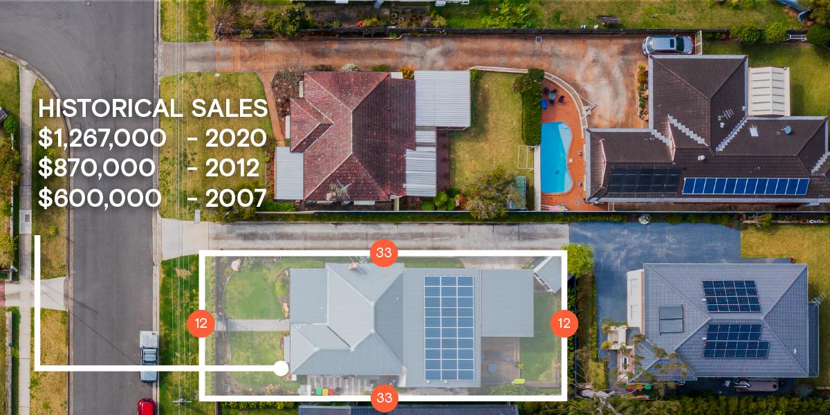
Valuers uses of the Landchecker to assess their subject property and gain insights into the local market, all in one map-view. High–resolution aerial imagery enables valuers to view a property with clarity and evaluate changes to the property over time. With accurate data-sets and readily accessible titles and documents, Landchecker is the go-to resource for valuers who want to streamline their valuation processes and deliver a timely and customised valuation report to clients.
“Having access to all this property information in one place is invaluable, from sales data, to planning information and permits. The Landchecker map is very easy to use.”
Dane Carruthers, Valuations Manager, CBRE