Landchecker For Professionals
Property data in one place - for faster, insight-driven decisions

Projects
Planning Permits/DAs
Premium property reports
Title and document searches
High resolution aerial imagery
Property Data
Projects

Build a database of properties in Landchecker
Save properties of interest to projects for future reference, add notes to a project or property, add documents and export results.
Save Site Finder results to projects and securely share projects with team members to collaborate and speed up work-flow.
Planning Permits/DAs

Share property insights with stakeholders
Download easy-to-read PDF reports branded with your company logo to send to stakeholders.
Premium Property Reports contain all the data from the Landchecker map view, distilled into a simple report.
Premium property reports

Share property insights with stakeholders
Download easy-to-read PDF reports branded with your company logo to send to stakeholders.
Premium Property Reports contain all the data from the Landchecker map view, distilled into a simple report.
Title and document searches

Enjoy faster searches
Seamlessly search for competitively priced property documents including titles, copy of plans, instruments and company searches directly from the Landchecker map.
Easily manage team member permissions and view previously searched documents in the order manager.
DESIGNED FOR BUSINESSES
Order any property documents relating to you subject property directly from the Landchecker map.
Instantly receive titles by email or view documents in the Order Manager.
Assign a Job Reference to each search for invoicing purposes.
Assign permissions per user.
PROPERTY DOCUMENTS INCLUDING LAND TITLE SEARCH
Request all your property documents through Landchecker. Search by address, council number, crown descriptions, lot/plan or SPI.
Register search statement (Certificate of Title)
Historical Title search
Instrument search
Final search
Copy of plan
Company search
High resolution aerial imagery

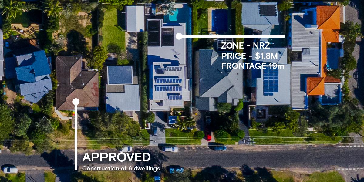
Conduct site assessments from your desk
See a clear, up-to-date view of properties without leaving your desk, and browse extensive historic aerial imagery to discover changes over time.
Imagery is updated 3-4 times a year in metro areas and is captured by plane, resulting in photographs 6x higher resolution than the best available satellite image.
Measure areas of interest.
Property Data

Your resource for making faster, insight-driven decisions.
Access comprehensive and reliable property data, including planning maps and links to the relevant planning scheme schedules, previous sale prices and sale history, property boundaries and site dimensions.
Measure distance and area with intuitive tools.