Landchecker For Architects & Town Planners
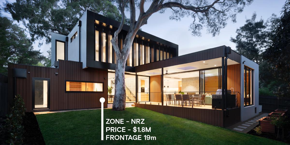
Architects and Town Planners need ready access to accurate property data and relevant planning precedents to make informed decisions with efficiency. The Landchecker application provides that all-in-one source of documents and data, with the benefit of viewing properties, sites and suburbs on-map and in high-resolution aerial imagery. Planners can visually evaluate a property in the context of planning zones and overlays, and check the status of nearby permits/development applications. Landchecker consolidates all the important information for planners so that they can deliver timely advice to clients and team members and comprehensive applications to council with confidence.
“Landchecker is a user friendly platform and provides a 1-stop shop for our day to day planning needs. The platform is able to function as the first ‘go- to’ website when providing advice for clients and reviewing a site.”
Simon Martin, Ratio Consultants