


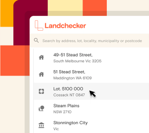
Search Properties


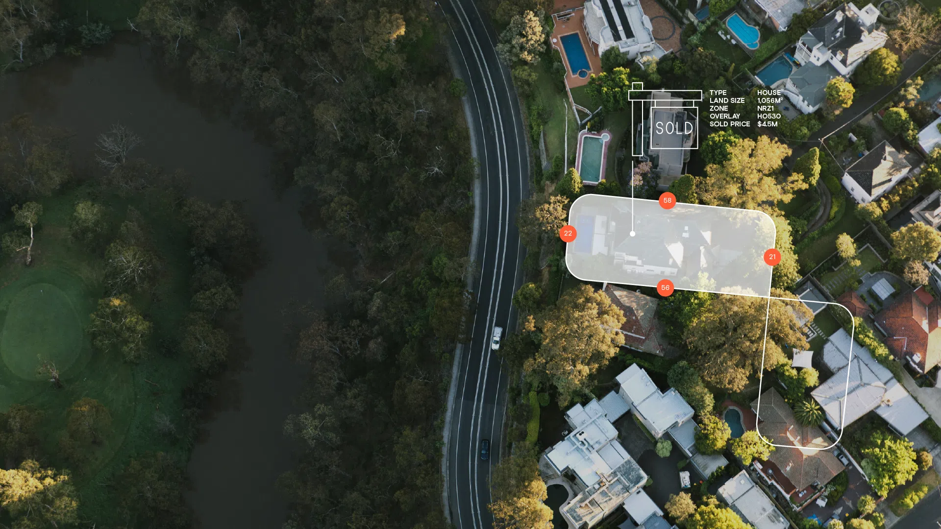
Landchecker provides accurate, reliable, high-quality data, nationally. We receive and process data from our providers daily. Gain a competitive edge with no more fragmented, outdated, inaccurate data. Our comprehensive data sets are thoroughly collected, analysed, curated and enriched to provide you with the data you need to make informed insight-driven decisions. Access our data via the Landchecker platform or reach out if you need a bespoke solution or to access our data within you application via an integration. Our data solutions include JSON API, Tiles API and downloads via the Landchecker Data Vault. To find out more about our data solutions, contact us to schedule a personalised consultation and discover how our data can transform your business.
| Dataset | Coverage LGA % | Coverage Population % | Update Frequency |
|---|---|---|---|
| Address | 100% | 100% | Daily |
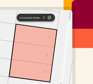
| Parcel / Property Identifier | 100% | 100% | Daily |
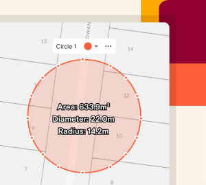
| Land Size | 100% | 100% | Daily |
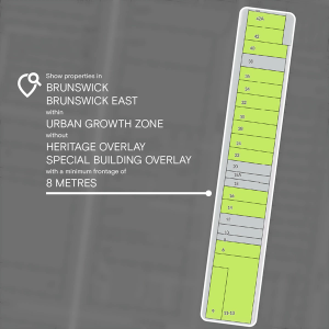
| Frontage | 100% | 100% | Monthly |
| Orientation | 100% | 100% | Monthly |
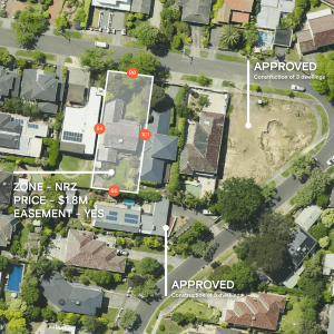
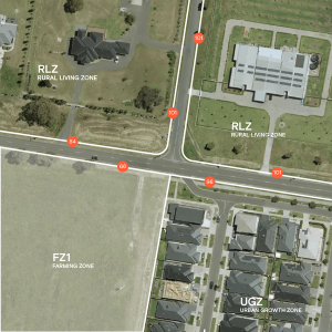
| Zone | 100% | 100% | Weekly |
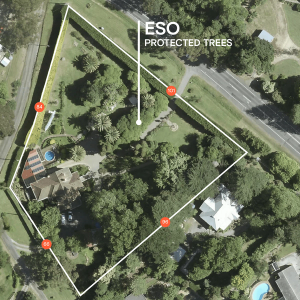
| Planning Layers: HOB, FSR, LSZ, TOD | 100% | 100% | Weekly |
| Hazards: Flood, Bushfire, Acid Sulphate, Landslide | 100%^ | 100%^ | Weekly |
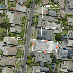
| Permits / Development Applications | 95.4% | 99.6% | Daily |
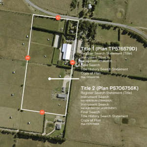
| Easements | 100% | 100% | 1st & 3rd Monday of the month |
| High Resolution Imagery | ~15%* | ~95%* | Quarterly** |