Bushfire Management Overlay
By Landchecker
Last reviewed: 13 October 2026
The Bushfire Management Overlay (BMO) is a planning control outlined in Clause 44.06 of every Victorian planning scheme. It applies to bushfire prone areas with very high and extreme bushfire hazards. This overlay ensures development only goes ahead where the risk to the community, human life and property from bushfire can be minimised.
A planning permit is required for developments on properties covered by the BMO to ensure bushfire protection measures are in place. Bushfire hazards, slope and site access need to be assessed, which may lead to development delays and high compliance costs. To ensure the risk of bushfire and the requirements of the Victoria Planning Provisions are addressed in permit applications, the Country Fire Authority (CFA) and the Department of Transport and Planning have a range of resources, and they also work with councils and applicants.
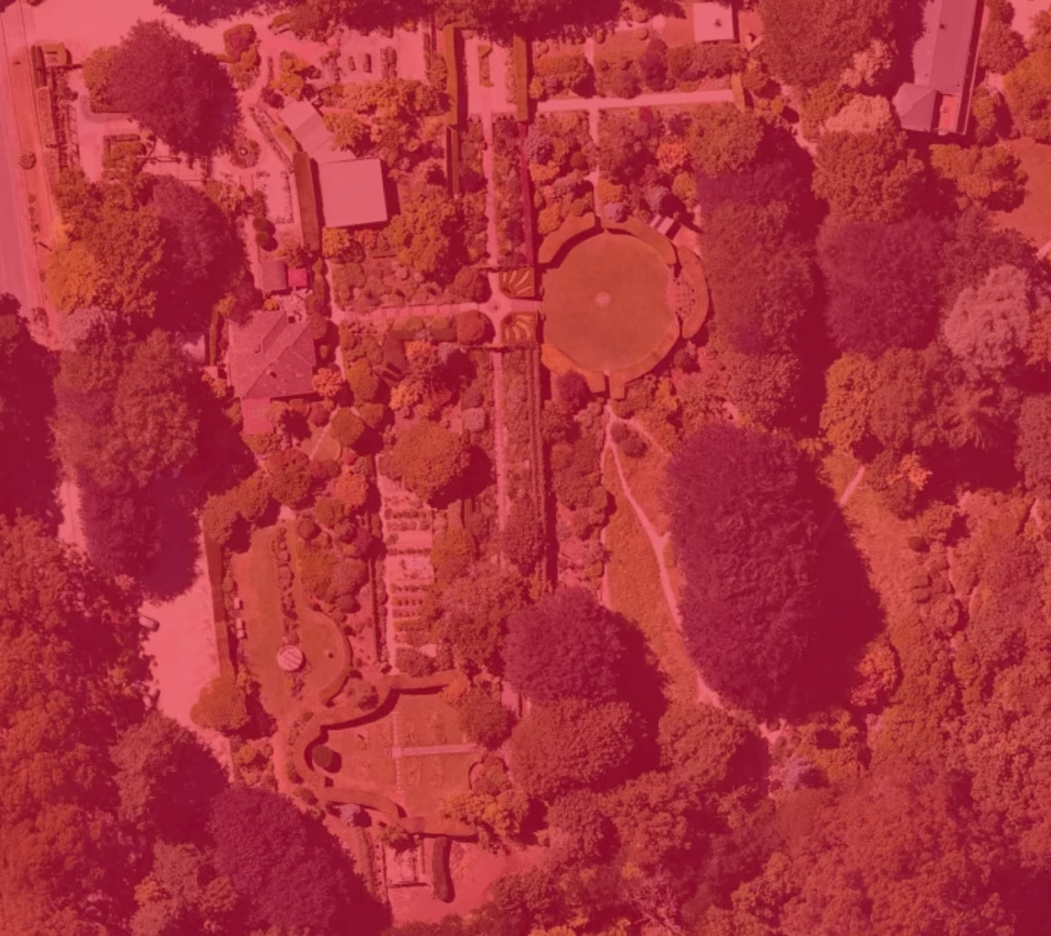
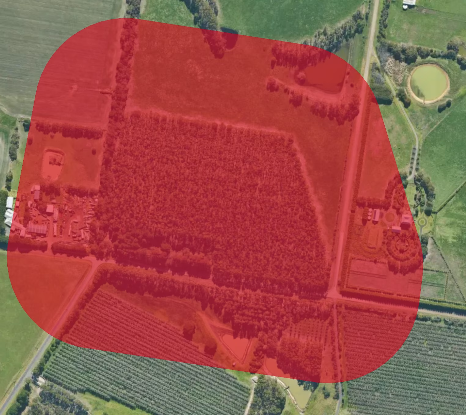
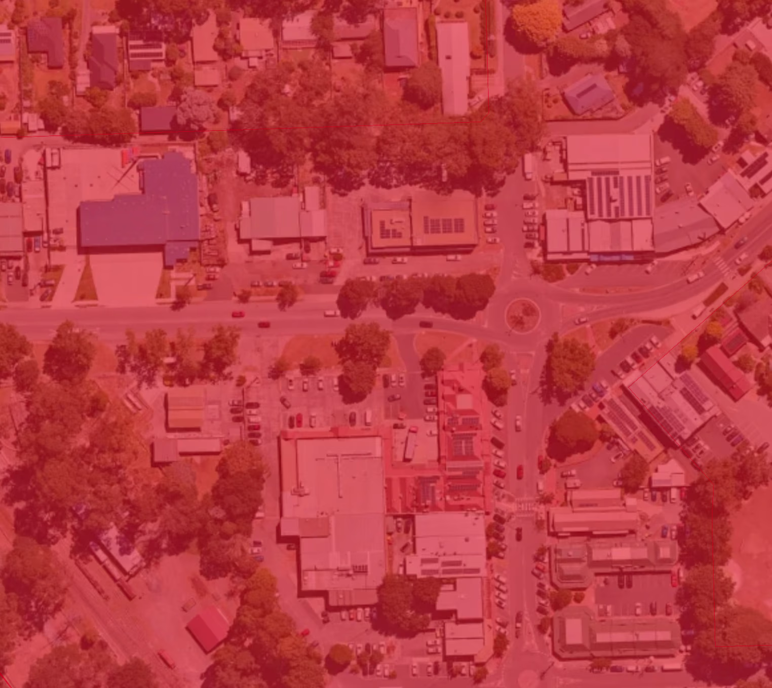
Landchecker shows whether a property is in the BMO via map layers under the planning overlays section. You’ll also find bushfire hazard data in the hazards section, so you can spot bushfire controls and risk before you buy, design or lodge a permit application.
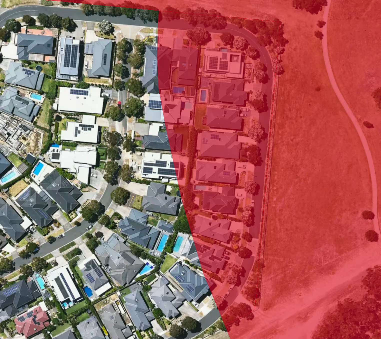
How the BMO and Designated Bushfire Prone Area (BPA) Relate
The BMO and a designated BPA are different instruments with substantial overlap. BMO is a planning control that applies to areas with very high and extreme bushfire hazards. Meanwhile, designated BPA is a building control determined under the Building Act 1993, driving AS 3959 construction requirements.
When is a Planning Permit Required in the BMO?
A planning permit is required to subdivide land, construct a building, or carry out works associated with any of these land uses:
- Accommodation (including dwellings, small second dwellings, bed and breakfasts, and moveable units as defined under the Housing Act 1983)
- Education centre
- Hospital
- Industry
- Leisure and recreation
- Office
- Place of assembly
- Retail premises
- Service station
- Timber production
- Warehouse
Permit exemptions for land in a BMO include:
- Development that complies with an agreement under section 173 of the Planning and Environment Act 1987 made in accordance with a permit condition under Clause 44.06-5
- An alteration or extension to an existing dwelling or small second dwelling, provided the gross floor area is not increased by more than 50 per cent
- Buildings and works associated with an existing dwelling or small second dwelling, other than a building that requires a permit under this clause or a vehicle accessway
- A building with a floor area of less than 100 square metres that is not used for accommodation and is ancillary to a dwelling
When lodging a planning permit application for a property in the BMO, check the schedule to the overlay, as it can vary the requirements.
Bushfire Protection Measures in the BMO
If your proposal needs a planning permit under the BMO, the application must meet the requirements in Clause 53.02 (Bushfire planning). The council refers BMO applications to the Country Fire Authority (CFA), and the approved permit usually comes with an endorsed bushfire management plan that you’ll need to follow.
1. Defendable Space
Defendable space is an area where vegetation and other combustibles are managed to reduce bushfire risk, with the required distance depending on the vegetation type and slope around the area. Within this space, you’ll need to meet vegetation management conditions, such as:
- Keeping at least 2 metres between the lowest tree branches and the ground
- Keeping shrubs clear of tree canopies
- Limiting shrub clumps to 5 square metres, with at least 5 metres between them
2. Bushfire Attack Level (BAL)
Building in the BMO requires a site-specific BAL assessment to determine the building’s construction rating under Australian Standard AS 3959:2018. It’s based on the surrounding vegetation, the slope of the land and the distance between the building and the vegetation. Under the BMO, new buildings must meet a minimum of BAL-12.5.
3. Static Water Supply
A development in a BMO requires a body of water confined within a vessel, such as an above-ground concrete or metal tank, set aside for use in a bushfire. The tank must hold 2,500, 5,000 or 10,000 litres, depending on lot size, and must remain full and dedicated to firefighting. Dams and swimming pools do not satisfy the static water supply requirements under the BMO.
4. Vehicle Access
Fire trucks need to safely reach your building. Where access requirements apply, driveways must have:
- All-weather construction with a load limit of at least 15 tonnes
- A minimum trafficable width of 3.5 metres
- At least 0.5 metres clear on each side and 4 metres clear above
- Curves with an inner radius of at least 10 metres
- An average grade of no more than 1 in 7 (14.4%)
- A turning area, such as a turning circle with a minimum radius of 8 metres
- Passing bays at least every 200 metres for driveways longer than 200 metres
How to Check a Property in Landchecker
Landchecker lets you turn on the BMO layer to confirm whether a property is affected. Follow the steps below to check if a property is under a BMO on the Landchecker platform:
1. Create an account or log in to the Landchecker map
2. Search a property by address, coordinates, lot/plan, locality, municipality or postcode
3. Click Map Layers and select Planning. Expand the planning overlays section and tick the checkbox beside BMO
4. Open the planning scheme link in the Planning Information panel on the right to learn more about the BMO
What changed under VC248
Planning Scheme Amendment VC248 came into effect on 5 May 2026. The changes include updated terminology and measures, expanded and clarified permit exemptions, revised decision guidelines for the BMO, and new decision guidelines at Clause 53.02 for specified development in the bushfire prone area.
Data coverage and currency
Frequently Asked Questions
What is the Bushfire Management Overlay?
A Victorian planning control at Clause 44.06 that applies to land that may be significantly affected by extreme bushfire.
Is the BMO used outside Victoria?
No. New South Wales uses the bushfire prone land online mapping tool prepared from council data that is certified by the Commissioner of the NSW Rural Fire Service. “Queensland uses state bushfire-prone area mapping, plus local planning scheme overlays and codes.
How does the BMO relate to a designated bushfire prone area?
BMO and designated bushfire prone area (BPA) are different instruments with substantial overlap, not independent systems. BMO sits in the planning scheme; a designated BPA is determined under the Building Act 1993 and drives AS 3959 construction requirements. Areas where a BMO applies are also by default bushfire prone areas.
Do I need a planning permit if my property is in the BMO?Sometimes. You need a permit to subdivide land, or to construct a building or carry out works for certain uses such as accommodation, retail or industry, unless an exemption applies. Applications within the BMO are now expressly required to include a Bushfire Management Plan, formalising what was already common practice.
How do I check whether a property is in the BMO?
Use Landchecker to check whether a property is in the BMO. Log in to your account and click Map Layers in the left-hand menu, and search for BMO under the planning overlays section. Note that the Planning Property Report (from VicPlan) is the authoritative source.
What changed under Amendment VC248?
Planning Scheme Amendment VC248 came into effect on 5 May 2026. The changes include updated terminology and measures, expanded and clarified permit exemptions, revised decision guidelines for the BMO, and new decision guidelines at Clause 53.02 for specified development in the bushfire prone area.
Conclusion
Bushfire management overlay (BMO) is essential for any property developer in Australia. This is to ensure development is permitted if it meets the requirements needed for maximum safety, reducing the risk of bushfires to communities, human lives and properties.
There are many tools available to help you identify if your site or its nearby properties are in a bushfire prone area. Create your free Landchecker account to access the bushfire management overlay.
Trusted by thousands of businesses every day
"Having access to all this property information in one place is invaluable, from sales data, to planning information and permits. The Landchecker map is very easy to use."
"Clients expect the advice to come immediately so they can make informed decisions on whatever it is they're doing, whether it is an acquisition or development applications or VCAT, Landchecker is that one-stop-shop; a tool that we could use to provide advice we could then give to our clients in a timely fashion."
“Landchecker is the most used and popular online tool for KordaMentha’s real estate team. Its intuitive platform simplifies complex property research, enabling our team to quickly retrieve essential information such as land size, zones and overlays, planning information, and sales history."
"Landchecker has been a gamechanger for InForm - not only in the way in which we are able to gather all accurate information on parcels of land, but also in the way in which we service our clients."
"Landchecker is essential for our business for evaluating development opportunities by offering detailed property insights, High-Resolution Imagery, and zoning data to save time and enable confident decisions."
"Landchecker has provided significant support to our due diligence process, providing efficient searching solution and quick access to key planning data and high-resolution imagery. It’s an essential tool improving the efficiency of our opportunity assessment."