Landchecker For Property Developers
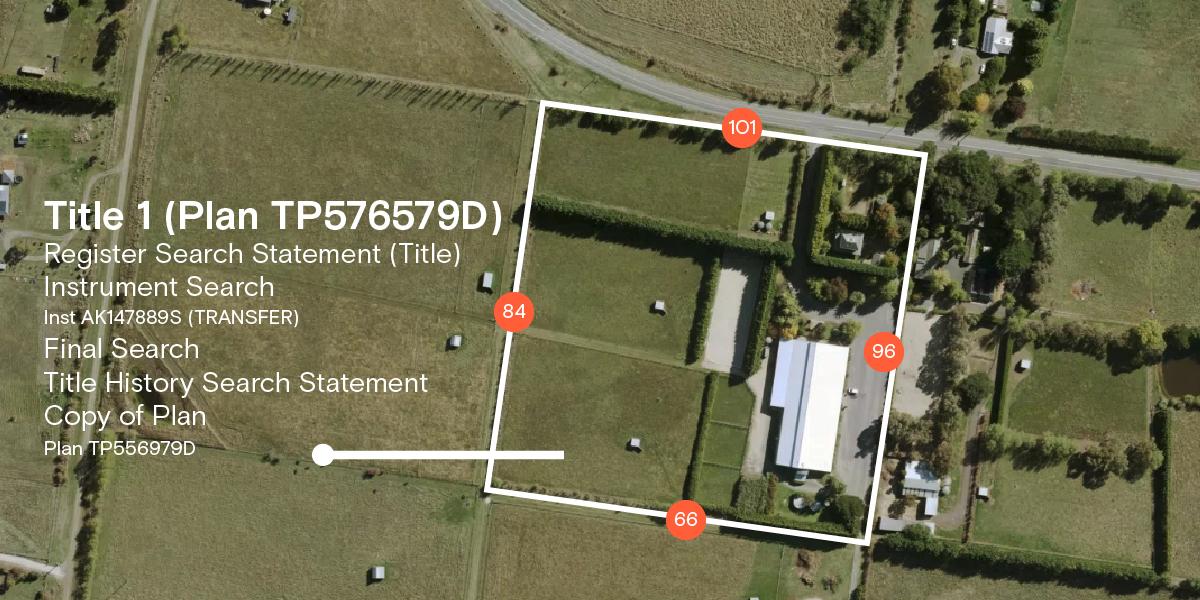
Developers need efficient ways to search for potential sites and check feasibility, so it makes sense that more developers use Landchecker as their go-to-tool every day. Conducting due diligence and reconnaissance from desktop vantage has never been easier with Landchecker’s on-map functionality. Landchecker equips developers with useful tool sets, the most up-to-date data and the highest resolution aerial imagery, so that they can kick-start their project with assurance and confidence.
“As a small developer, it's very helpful for quickly researching potential sites (zones, overlay, topography). The planning information and previous sale price data is great as it saves me having a separate system for each.”
Luke Rowart, Elevation Property


