Product Help
How to view Transport Oriented Development (TOD) areas in NSW
Using the Transport Oriented Development (TOD) data, you can easily identify properties and sites near key transport hubs—like train stations, bus stops, and other transit links—to make smarter decisions when planning or selecting sites based on transport accessibility.
What is TOD? TOD is a land use planning approach by the NSW Government that encourages sustainable and mixed-use development around transport and aims to create vibrant and walkable communities.
The TOD data seamlessly integrates with our existing planning layers, zoning information, and public transport amenities, offering a complete view to support your projects.
This feature is available for Standard, Advanced and Enterprise customers. If you wish to upgrade, please visit our plans page.
Watch the video below for a quick step-by-step guide.
Or, read these steps to show TOD areas in New South Wales.
1. Search for a property or enter a local government area (LGA) on the address search bar
2. Click Planning Layers in the left-hand side panel of the map
3. Tick off the check box beside Transport Oriented Development
4. A blue overlay appears on the map showing the areas that are part of the Transport Oriented Development (TOD) program
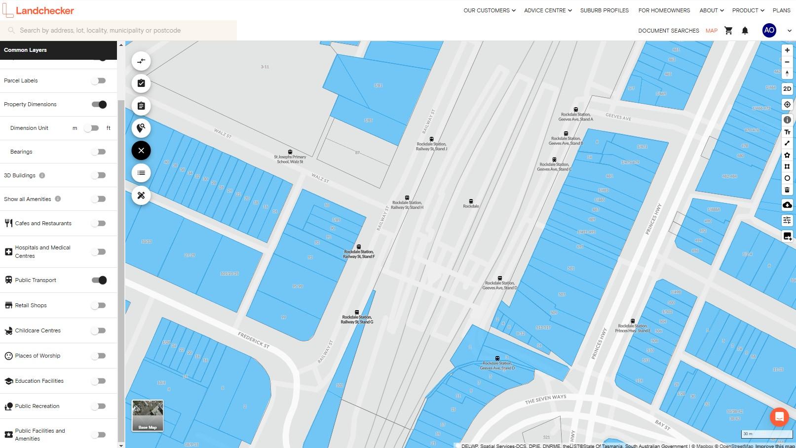
5. You can also activate the Public Transport amenities under Common Layers to view the nearby train stations, bus stops, and other transit links, giving you more comprehensive data.

