Product Help
How to view Car Parking/PPTN Areas in Victoria
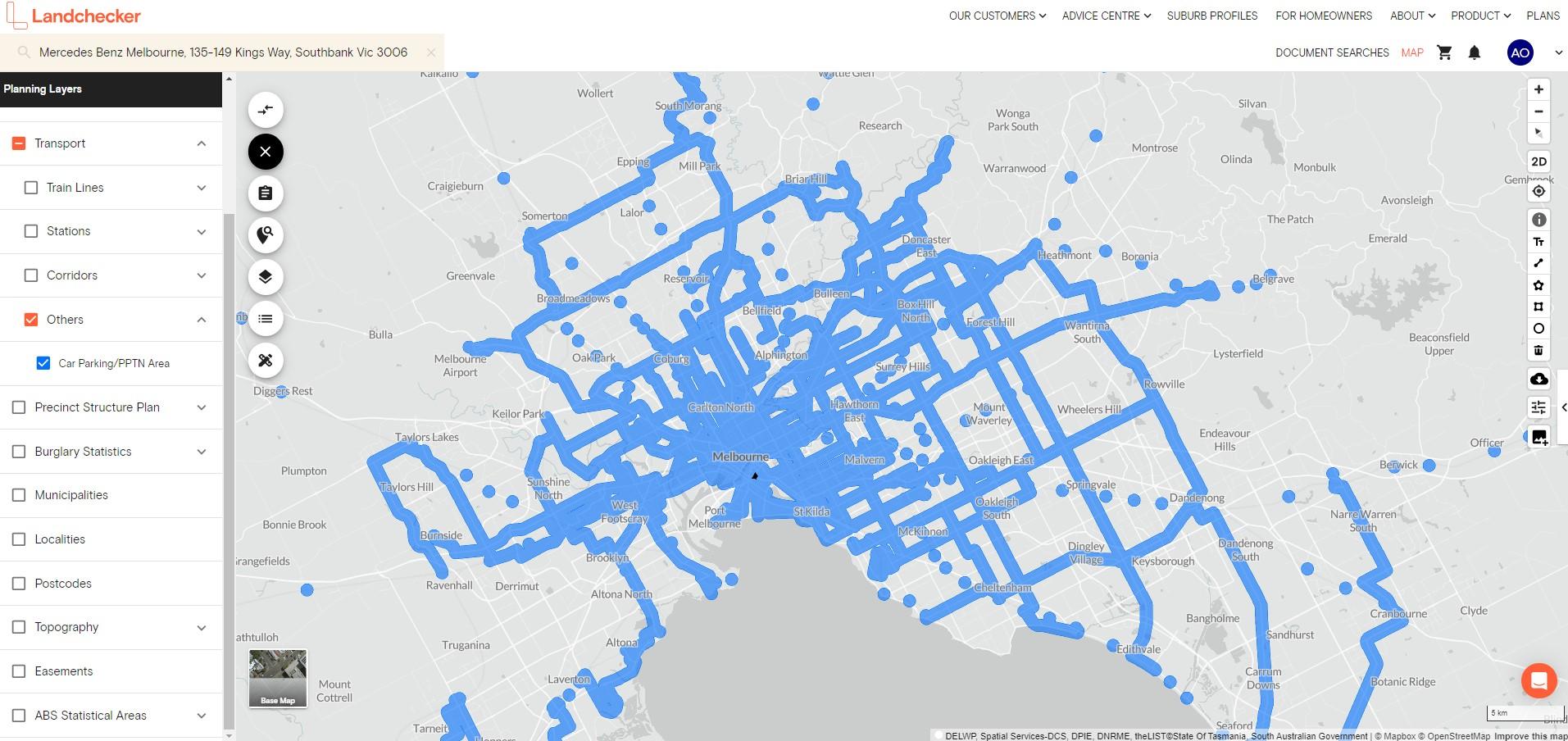
You can check if your property or local area is impacted by the reduced car parking requirements using Transport under Planning Layers in the left-hand side panel on the Landchecker map.
Here’s a short video showing how to view car parking/PPTN areas in Victoria.
Or, you can read the steps below for a quick step-by-step guide.
1. Search a Victorian property in the address search bar
2. Click Planning Layers on the left-hand side panel
3. Select Transport
4. Tick the checkbox beside Other
5. Select Car Parking/PPTN Area
The blue overlay means they are part of the principal public transport network (PPTN) area. You can also zoom out to view the whole car parking/PPTN coverage as seen in the screenshot below.