Product Help
How to use the Property Radius tool
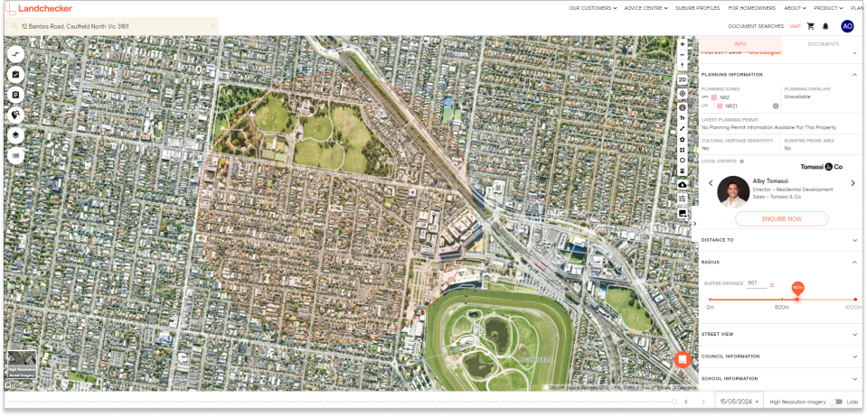
The ability to add a radius up to 1000m or 50km around your selected property has been added to Landchecker under the information panel on the left-hand side of the map.
With this functionality, you can search for specific listings in a specified distance, create images for reports showing the distance of your chosen address from local amenities, check planning permits/DAs within the set radius and so much more.
Read the steps below on how to set a radius from your chosen property address.
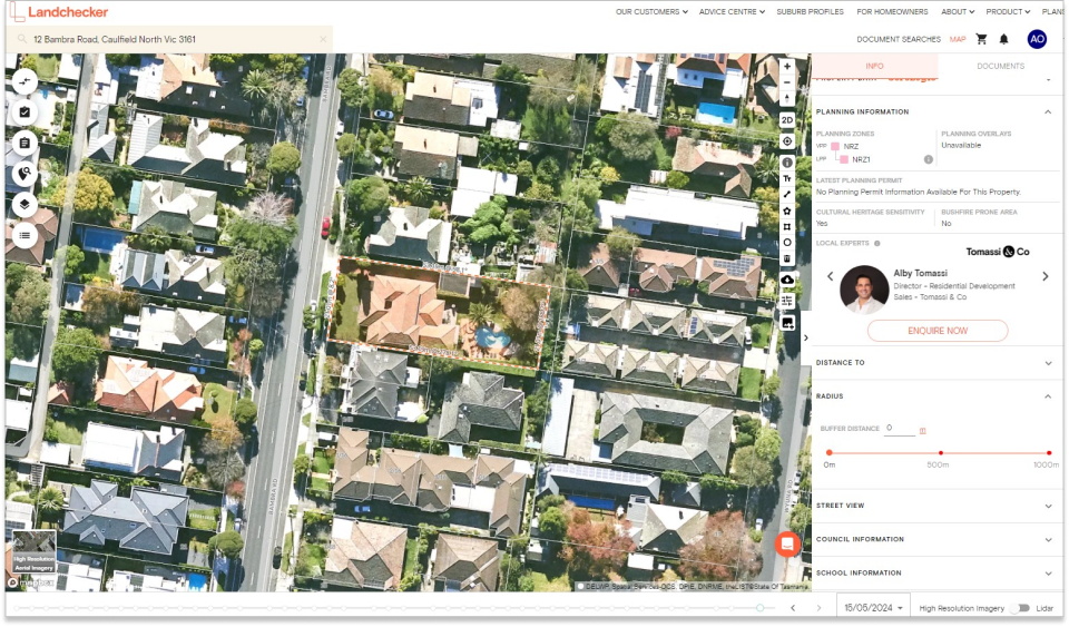
1. Search for a property using the search bar located at the top left corner of the Map
2. Under the information panel on the left-hand side of the map, scroll down and click Radius
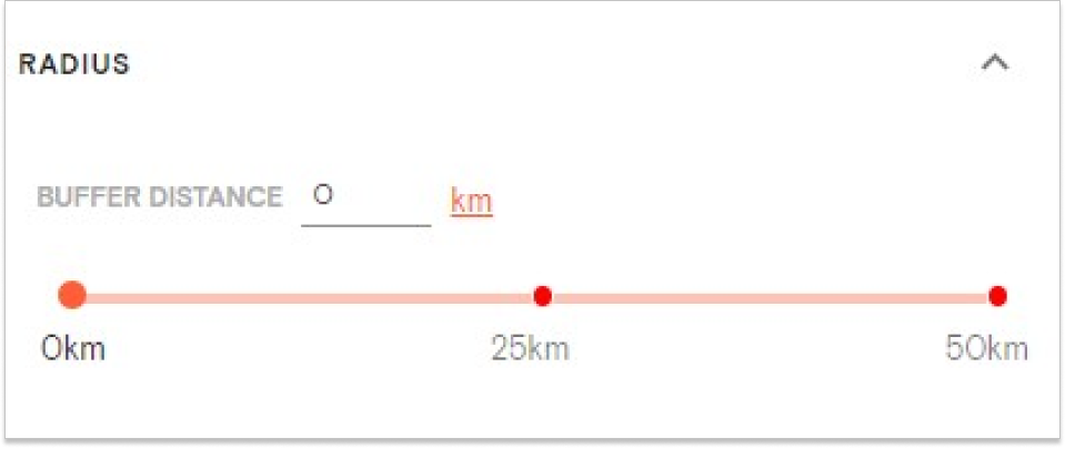
3. Set the buffer distance by manually typing in the numbers or dragging the orange circle
4. Click the m (red text) beside the buffer distance to switch from metres to kilometres