Release Notes
Release notes - High resolution aerial imagery filters and more
Here’s what's new in Landchecker late May 2024
High resolution Aerial Imagery Filters
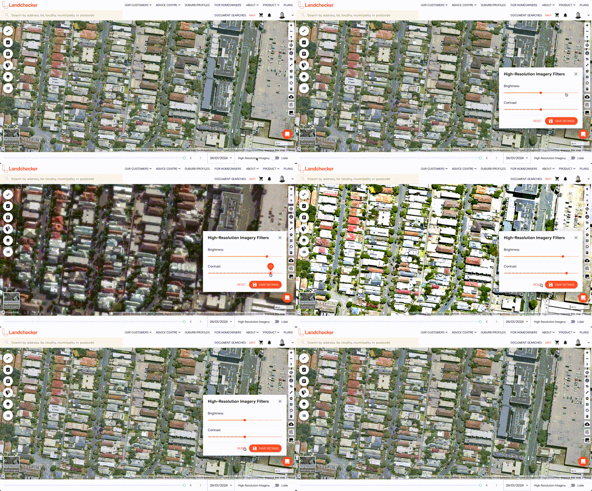
Advanced customers can now access the ability to filter the high resolution aerial imagery by brightness and contrast. These edits can also be saved as a preference. Access these filters in the tools area next to the high resolution export.
Due Diligence is now Planning Layers
As part of an ongoing project to improve and customise your experience we have made the first of many updates to the left hand side panel. You can now see that the Due Diligence menu is now called Planning Layers and toggling open and turning on the data is now decoupled. Look out for future functionality releases where you can customise and save your settings in this area.
Statistical Areas (SA)
Customers on paid plans can now access Statistical Areas Levels 1-4 in the new above mentioned Planning Layers. Statistical Areas are geographical areas representing population density SA 1 for example, have a population of between 200 and 800 people with an average population size of approximately 400 people.

