
Company News
High resolution aerial imagery is now available nationally on Landchecker
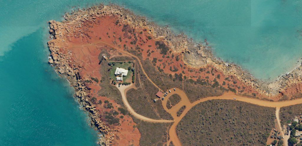
We are pleased to inform our members that in partnership with Aerometrex, Landchecker now gives you national, aerial coverage in both standard and high resolution imagery.
By simply selecting your map type, you can transfer between standard and high resolution aerial imagery to examine your property site and locality, or pan out to view the whole of Australia in one snapshot. Virtually transport yourself to shaded areas of high resolution imagery for a reconnaissance of prospective property sites, locally or interstate.
With high resolution aerial imagery that is captured quarterly across cities, and yearly in rural regions, you can rely on up-to-date views nationwide. Adjust the date of your search, and you can appreciate developments to your subject property or locality over a selected period of time.
Expanding our aerial coverage gives our members greater scope for their property projects across Australia.
To experience the complete Landchecker application experience, including national high resolution aerial imagery, please click here to upgrade your plan.