Wuraming WA 6390
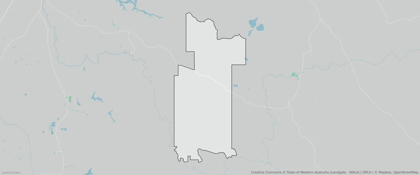
This Wuraming suburb profile includes demographic data and planning information to help you make an informed property decision.
An average home in Wuraming is other/not stated by group households. The average age in Wuraming is 0. Units and Apartments are common in Wuraming and the area is mostly STATE FOREST (92.44%), PUBLIC OPEN SPACE (6.99%) and LOCAL ROAD (0.46%).
WURAMING planning zones
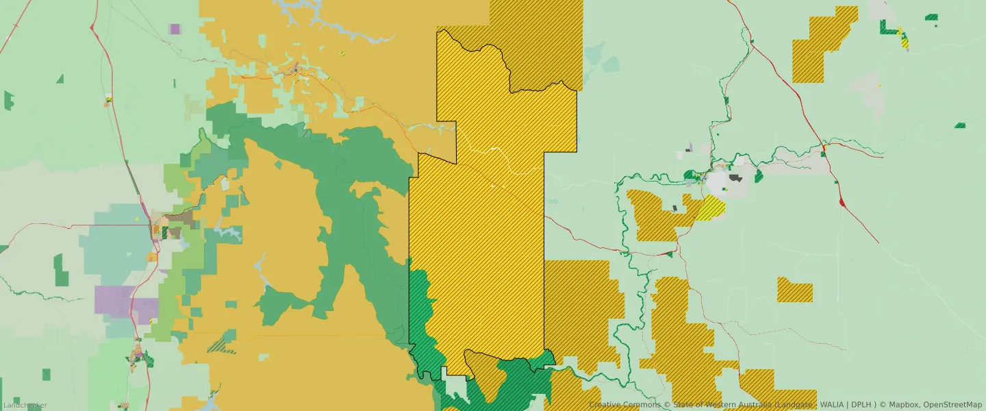
| Zone Code | Zone Name | Percentage Covered | Area Covered | |
|---|---|---|---|---|
| LOCAL ROAD | LOCAL ROAD | 0.46% | 1,599,101.72㎡ | |
| PRIMARY DISTRIBUTOR ROAD | PRIMARY DISTRIBUTOR ROAD | 0.08% | 273,280.34㎡ | |
| PUBLIC OPEN SPACE | PUBLIC OPEN SPACE | 6.99% | 24,410,878.17㎡ | |
| REGIONAL OPEN SPACE | REGIONAL OPEN SPACE | 0% | 15.05㎡ | |
| REGIONAL OPEN SPACE | REGIONAL OPEN SPACE RESERVE | 0% | 15.05㎡ | |
| RURAL | RURAL | 0.04% | 125,836.49㎡ | |
| RURAL | RURAL ZONE | 0.04% | 125,836.49㎡ | |
| STATE FOREST | STATE FOREST | 92.44% | 323,090,580.12㎡ | |
| STATE FORESTS | STATE FORESTS RESERVE | 0% | 2,577.15㎡ |
Looking to research a property in WURAMING?
Go to mapData Source - ABS