Woolgorong WA 6630
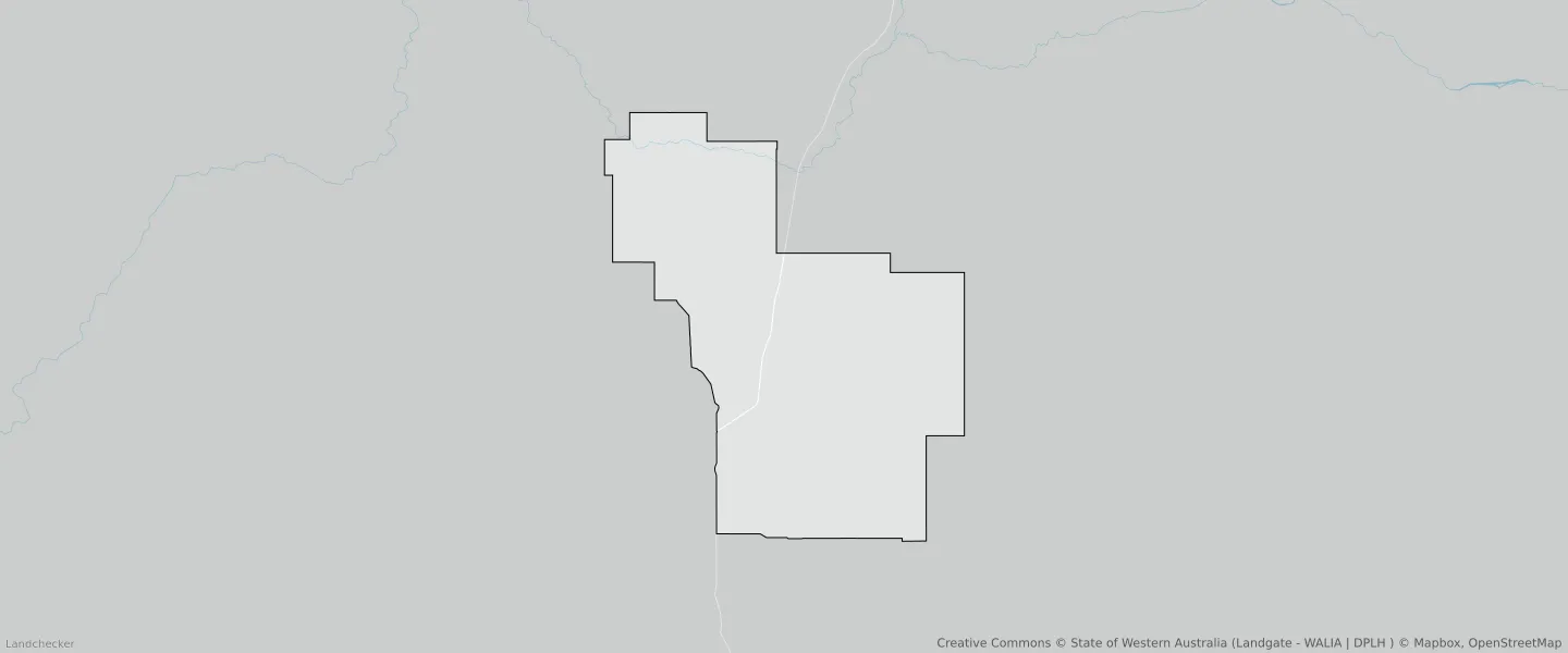
This Woolgorong suburb profile includes demographic data and planning information to help you make an informed property decision.
An average home in Woolgorong is other/not stated by group households. The average age in Woolgorong is 0. Units and Apartments are common in Woolgorong and the area is mostly CONSERVATION (82.31%), PASTORAL (17.53%) and LOCAL ROAD (0.16%).
WOOLGORONG planning zones
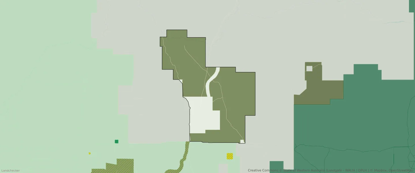
| Zone Code | Zone Name | Percentage Covered | Area Covered | |
|---|---|---|---|---|
| CONSERVATION | CONSERVATION | 82.31% | 1,159,791,066.23㎡ | |
| LOCAL ROAD | LOCAL ROAD | 0.16% | 2,200,937.82㎡ | |
| LOCAL ROAD | LOCAL ROAD | 0% | 11.57㎡ | |
| PASTORAL | PASTORAL | 17.53% | 246,745,626.72㎡ |
Looking to research a property in WOOLGORONG?
Go to mapData Source - ABS