Wongungarra VIC 3862
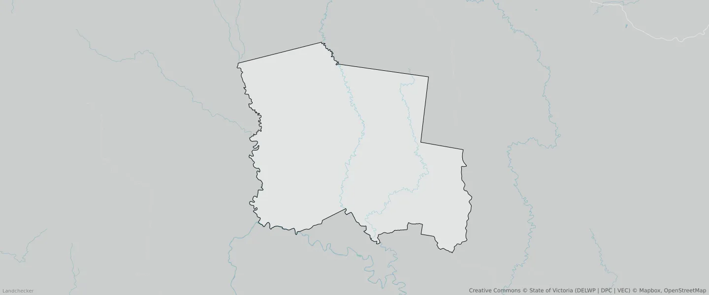
This Wongungarra suburb profile includes demographic data and planning information to help you make an informed property decision.
An average home in Wongungarra is other/not stated by group households. The average age in Wongungarra is 0. Units and Apartments are common in Wongungarra and the area is mostly PUBLIC CONSERVATION AND RESOURCE ZONE (63.22%), PUBLIC CONSERVATION AND RESOURCE ZONE (36.67%) and TRANSPORT ZONE (0.07%).
WONGUNGARRA planning zones
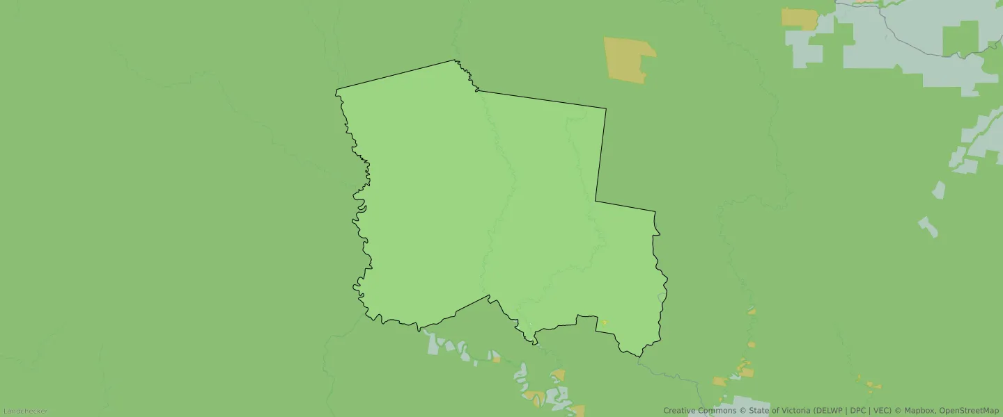
| Zone Code | Zone Name | Percentage Covered | Area Covered | |
|---|---|---|---|---|
| FZ | FARMING ZONE | 0.02% | 108,041.44㎡ | |
| PCRZ | PUBLIC CONSERVATION AND RESOURCE ZONE | 36.67% | 181,464,757.42㎡ | |
| PCRZ | PUBLIC CONSERVATION AND RESOURCE ZONE | 63.22% | 312,395,718.85㎡ | |
| RCZ | RURAL CONSERVATION ZONE | 0.03% | 153,779.91㎡ | |
| TRZ3 | TRANSPORT ZONE | 0.07% | 321,844.61㎡ |
Looking to research a property in WONGUNGARRA?
Go to mapData Source - ABS