Wollert VIC 3750
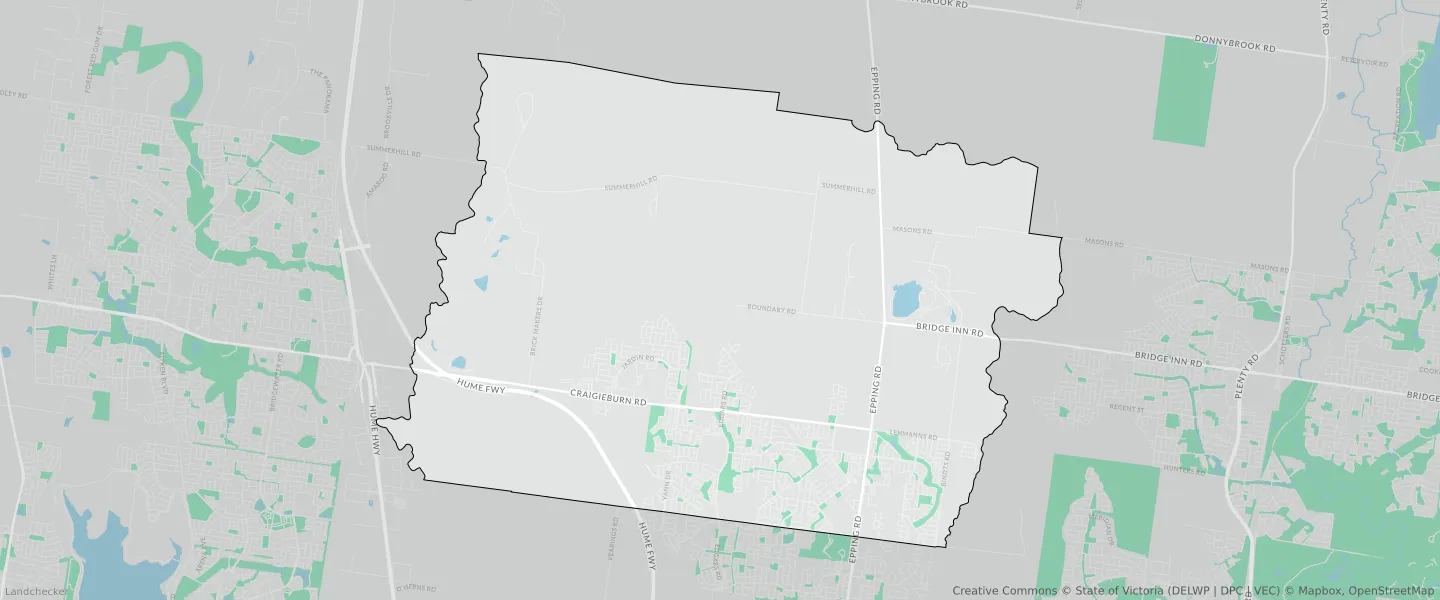
This Wollert suburb profile includes demographic data and planning information to help you make an informed property decision.
An average home in Wollert is owned with a mortgage by couples with children. The average age in Wollert is 30. Separate houses are common in Wollert and the area is mostly URBAN GROWTH ZONE (24.1%), GREEN WEDGE ZONE (20.17%) and SPECIAL USE ZONE (13.92%).
Wollert demographics
Population
24407
Average Age
30
Age Distribution
Employment Type
Median Weekly Income
Traveled to Work
Car
88.0%
Tram
0.0%
Bicycle
0.1%
Train
2.4%
Walking
0.5%
Bus
1.1%
Wollert property information
Number of Bedrooms
Tenure Type
Property Types in Wollert
Separate house
Semi detached house
Unit/Apartment
Median monthly mortgage repayments
$2,000
Median weekly rental payments
$391
Average number of bedrooms per dwelling
3.6
Average number of people per household
3
Household Composition
Family Composition
Couple family without children
One parent family
Couple family with children
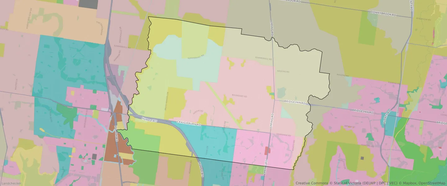
WOLLERT planning zones
| Zone Code | Zone Name | Percentage Covered | Area Covered | |
|---|---|---|---|---|
| CDZ | COMPREHENSIVE DEVELOPMENT ZONE | 6.89% | 3,744,612.53㎡ | |
| FZ | FARMING ZONE | 8.26% | 4,493,197.41㎡ | |
| GRZ | GENERAL RESIDENTIAL ZONE | 8.26% | 4,486,478.85㎡ | |
| GWZ | GREEN WEDGE ZONE | 20.17% | 10,968,251.79㎡ | |
| MUZ | MIXED USE ZONE | 0.13% | 69,586.7㎡ | |
| PCRZ | PUBLIC CONSERVATION AND RESOURCE ZONE | 3.08% | 1,674,735㎡ | |
| PPRZ | PUBLIC PARK AND RECREATION ZONE | 0.04% | 21,358.19㎡ | |
| RCZ | RURAL CONSERVATION ZONE | 13.22% | 7,188,949.35㎡ | |
| SUZ | SPECIAL USE ZONE | 13.92% | 7,569,576.46㎡ | |
| TRZ2 | TRANSPORT ZONE | 1.83% | 996,968.78㎡ | |
| TRZ3 | TRANSPORT ZONE | 0.09% | 48,208.59㎡ | |
| UGZ | URBAN GROWTH ZONE | 24.1% | 13,097,469.4㎡ |
Looking to research a property in WOLLERT?
Go to mapData Source - ABS