Wirraba NSW 2849
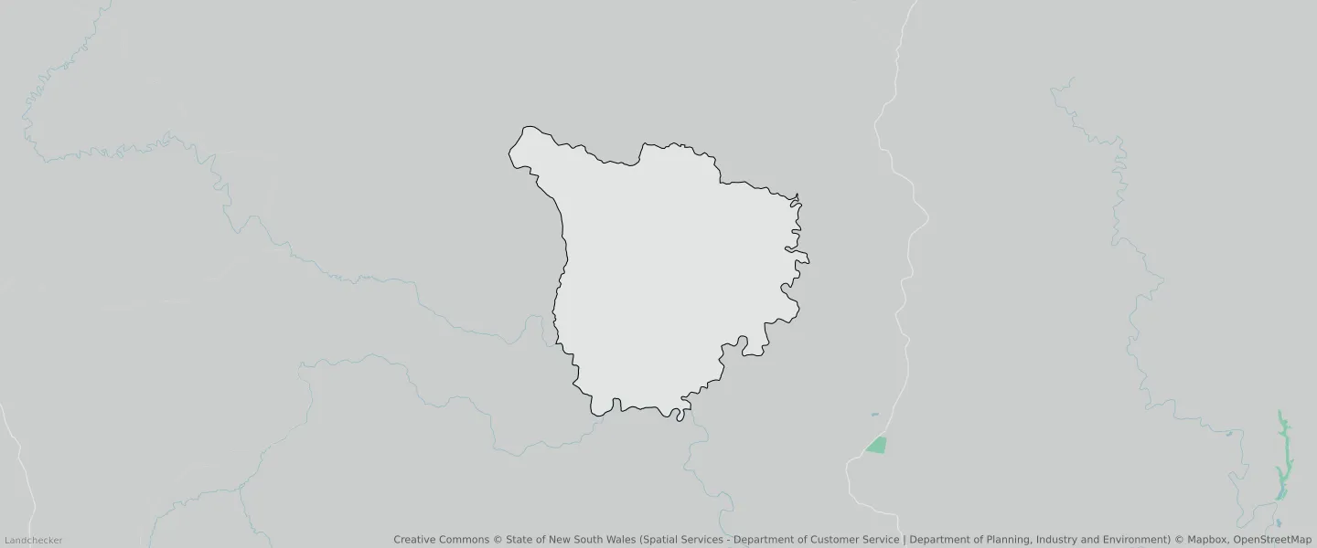
This Wirraba suburb profile includes demographic data and planning information to help you make an informed property decision.
An average home in Wirraba is other/not stated by group households. The average age in Wirraba is 0. Units and Apartments are common in Wirraba and the area is mostly National Parks and Nature Reserves (98.51%), National Parks and Nature Reserves (0.69%) and National Parks and Nature Reserves (0.43%).
WIRRABA planning zones
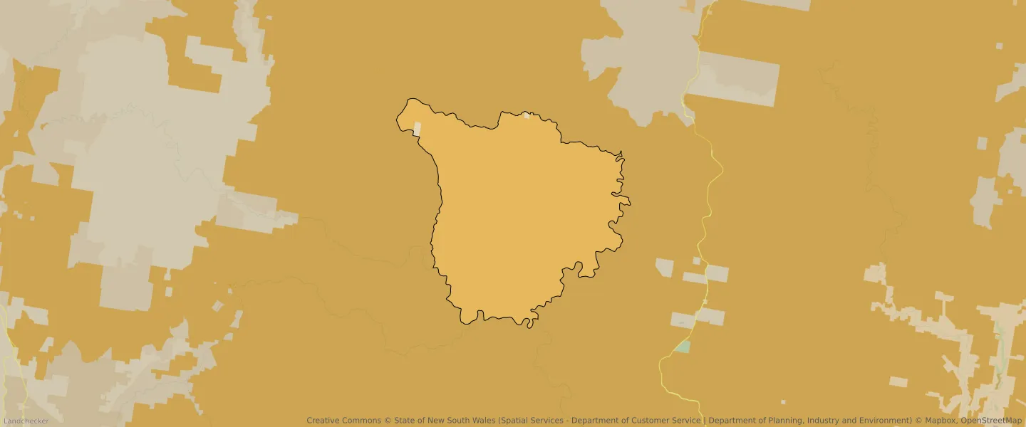
| Zone Code | Zone Name | Percentage Covered | Area Covered | |
|---|---|---|---|---|
| C1 | National Parks and Nature Reserves | 0.43% | 1,106,666.43㎡ | |
| C1 | National Parks and Nature Reserves | 98.51% | 253,952,054.62㎡ | |
| C1 | National Parks and Nature Reserves | 0.69% | 1,786,808.68㎡ | |
| RU2 | Rural Landscape | 0.36% | 936,403.95㎡ |
Looking to research a property in WIRRABA?
Go to mapData Source - ABS