Warrumbungle NSW 2828
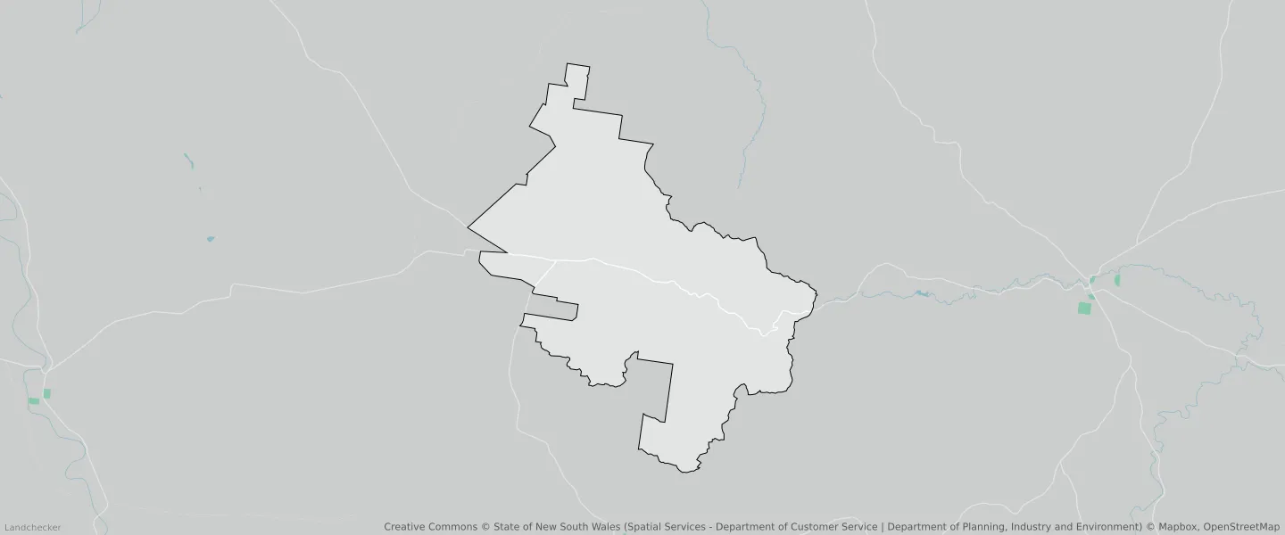
This Warrumbungle suburb profile includes demographic data and planning information to help you make an informed property decision.
An average home in Warrumbungle is other/not stated by group households. The average age in Warrumbungle is 63. Units and Apartments are common in Warrumbungle and the area is mostly Primary Production (32.95%), National Parks and Nature Reserves (29.59%) and National Parks and Nature Reserves (19.09%).
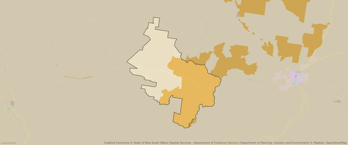
WARRUMBUNGLE planning zones
| Zone Code | Zone Name | Percentage Covered | Area Covered | |
|---|---|---|---|---|
| C1 | National Parks and Nature Reserves | 29.59% | 96,145,869㎡ | |
| C1 | National Parks and Nature Reserves | 19.09% | 62,070,283.62㎡ | |
| RU1 | Primary Production | 18.37% | 59,696,865.52㎡ | |
| RU1 | Primary Production | 32.95% | 107,186,569.99㎡ |
Looking to research a property in WARRUMBUNGLE?
Go to mapData Source - ABS