Tallowal NSW 2540
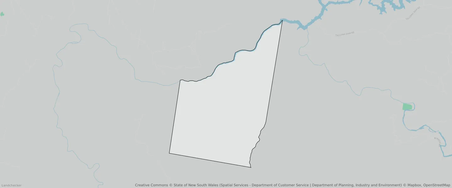
This Tallowal suburb profile includes demographic data and planning information to help you make an informed property decision.
An average home in Tallowal is other/not stated by group households. The average age in Tallowal is 0. Units and Apartments are common in Tallowal and the area is mostly National Parks and Nature Reserves (99.49%), Infrastructure (0.48%) and Environmental Conservation (0%).
TALLOWAL planning zones
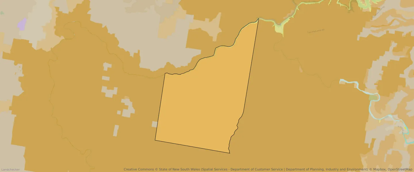
| Zone Code | Zone Name | Percentage Covered | Area Covered | |
|---|---|---|---|---|
| C1 | National Parks and Nature Reserves | 99.49% | 91,533,306.14㎡ | |
| C1 | National Parks and Nature Reserves | 0% | 29.64㎡ | |
| C2 | Environmental Conservation | 0% | 163.85㎡ | |
| SP2 | Infrastructure | 0.48% | 442,553.52㎡ |
Looking to research a property in TALLOWAL?
Go to mapData Source - ABS