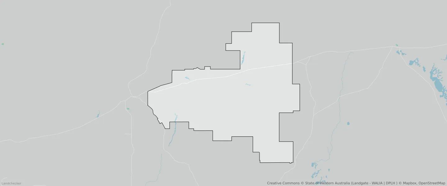
Pindar WA 6631
This Pindar suburb profile includes demographic data and planning information to help you make an informed property decision.
An average home in Pindar is other/not stated by single person households. The average age in Pindar is 62. Separate houses are common in Pindar and the area is mostly RURAL ZONE (98.24%), RURAL (98.24%) and ENVIRONMENTAL CONSERVATION RESERVE (1%).
Pindar demographics
Population
13
Average Age
62
Age Distribution
Employment Type
Median Weekly Income
Traveled to Work
Car
70.0%
Tram
0.0%
Bicycle
0.0%
Train
0.0%
Walking
0.0%
Bus
0.0%
Pindar property information
Number of Bedrooms
Tenure Type
Property Types in Pindar
Separate house
Semi detached house
Unit/Apartment
Median monthly mortgage repayments
$0
Median weekly rental payments
$0
Average number of bedrooms per dwelling
2.0
Average number of people per household
2
Household Composition
Family Composition
Couple family without children
One parent family
Couple family with children
PINDAR planning zones
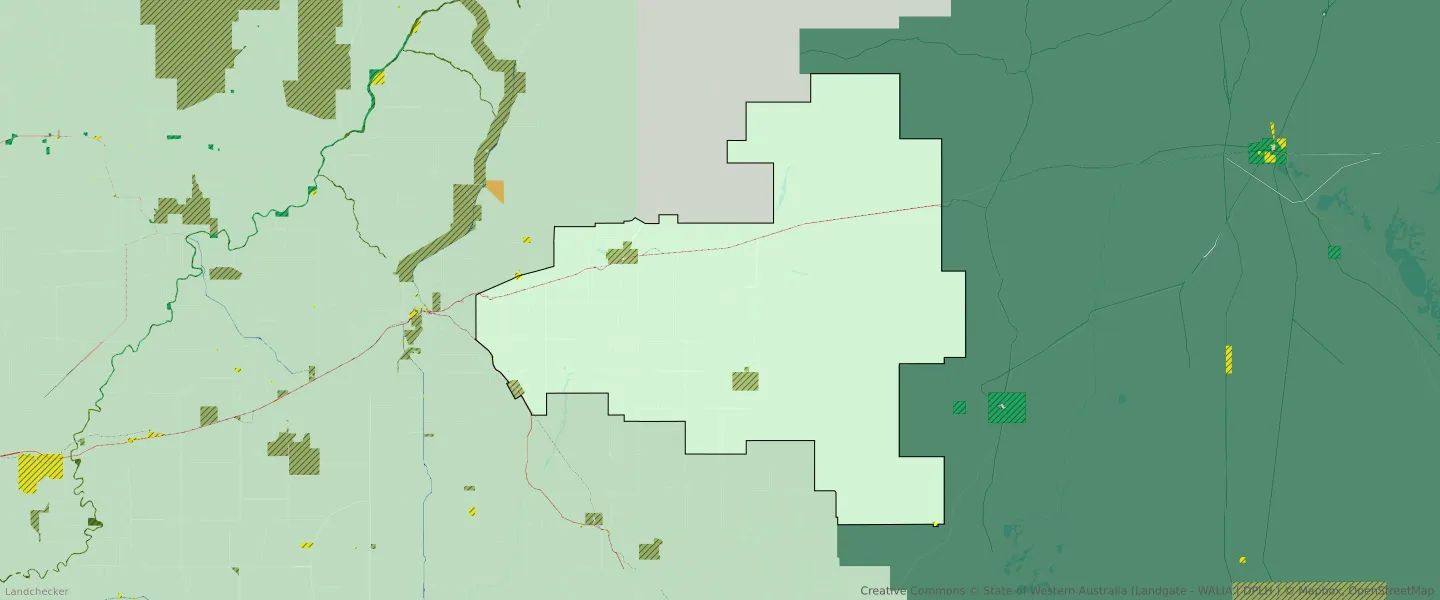
| Zone Code | Zone Name | Percentage Covered | Area Covered | |
|---|---|---|---|---|
| ENVIRONMENTAL CONSERVATION RESERVE | ENVIRONMENTAL CONSERVATION RESERVE | 1% | 21,719,615.36㎡ | |
| LOCAL ROAD | LOCAL ROAD | 0.38% | 8,355,732.14㎡ | |
| MIXED USE | MIXED USE | 0% | 2,023.26㎡ | |
| PASTORAL | PASTORAL | 0% | 1,632.41㎡ | |
| PRIMARY DISTRIBUTOR ROAD | PRIMARY DISTRIBUTOR ROAD | 0.09% | 1,976,507.27㎡ | |
| PUBLIC PURPOSES | PUBLIC PURPOSES | 0.04% | 973,724.44㎡ | |
| PUBLIC PURPOSES | PUBLIC PURPOSES RESERVE | 0.04% | 973,724.44㎡ | |
| R80 | R80 | 0% | 2,023.26㎡ | |
| RAILWAY | RAILWAY | 0.24% | 5,207,969.39㎡ | |
| RURAL | RURAL | 98.24% | 2,137,562,363.22㎡ | |
| RURAL | RURAL ZONE | 98.24% | 2,137,562,363.22㎡ | |
| RURAL/MINING | RURAL/MINING | 0% | 335.89㎡ |
Looking to research a property in PINDAR?
Go to mapData Source - ABS