Malmalling WA 6556
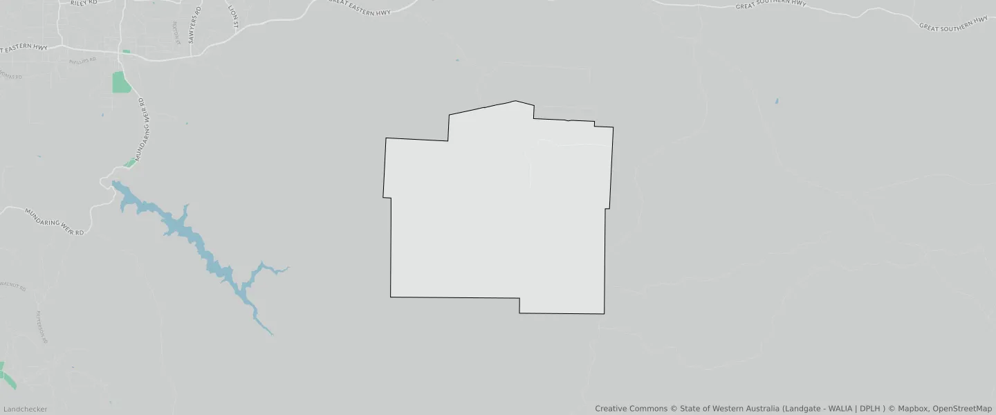
This Malmalling suburb profile includes demographic data and planning information to help you make an informed property decision.
An average home in Malmalling is other/not stated by group households. The average age in Malmalling is 0. Units and Apartments are common in Malmalling and the area is mostly RURAL ZONE (100%), RURAL (100%) and PUBLIC PURPOSES RESERVE (51.98%).
MALMALLING planning zones
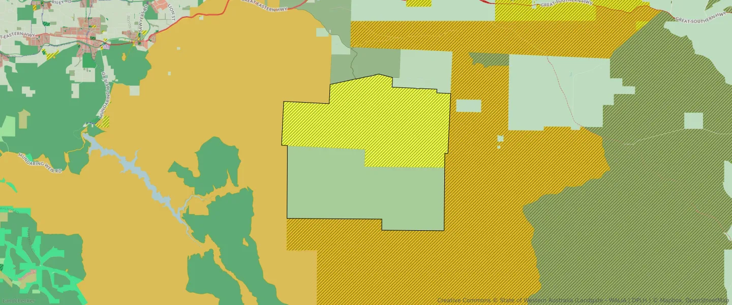
| Zone Code | Zone Name | Percentage Covered | Area Covered | |
|---|---|---|---|---|
| CONSERVATION | CONSERVATION | 47.87% | 42,147,761.27㎡ | |
| PUBLIC PURPOSES | PUBLIC PURPOSES | 51.98% | 45,780,764.15㎡ | |
| PUBLIC PURPOSES | PUBLIC PURPOSES RESERVE | 51.98% | 45,780,764.15㎡ | |
| RURAL | RURAL | 100% | 88,059,210.59㎡ | |
| RURAL | RURAL ZONE | 100% | 88,059,210.59㎡ | |
| STATE FOREST | STATE FOREST | 0% | 14.17㎡ |
Looking to research a property in MALMALLING?
Go to mapData Source - ABS