Lysterfield VIC 3156
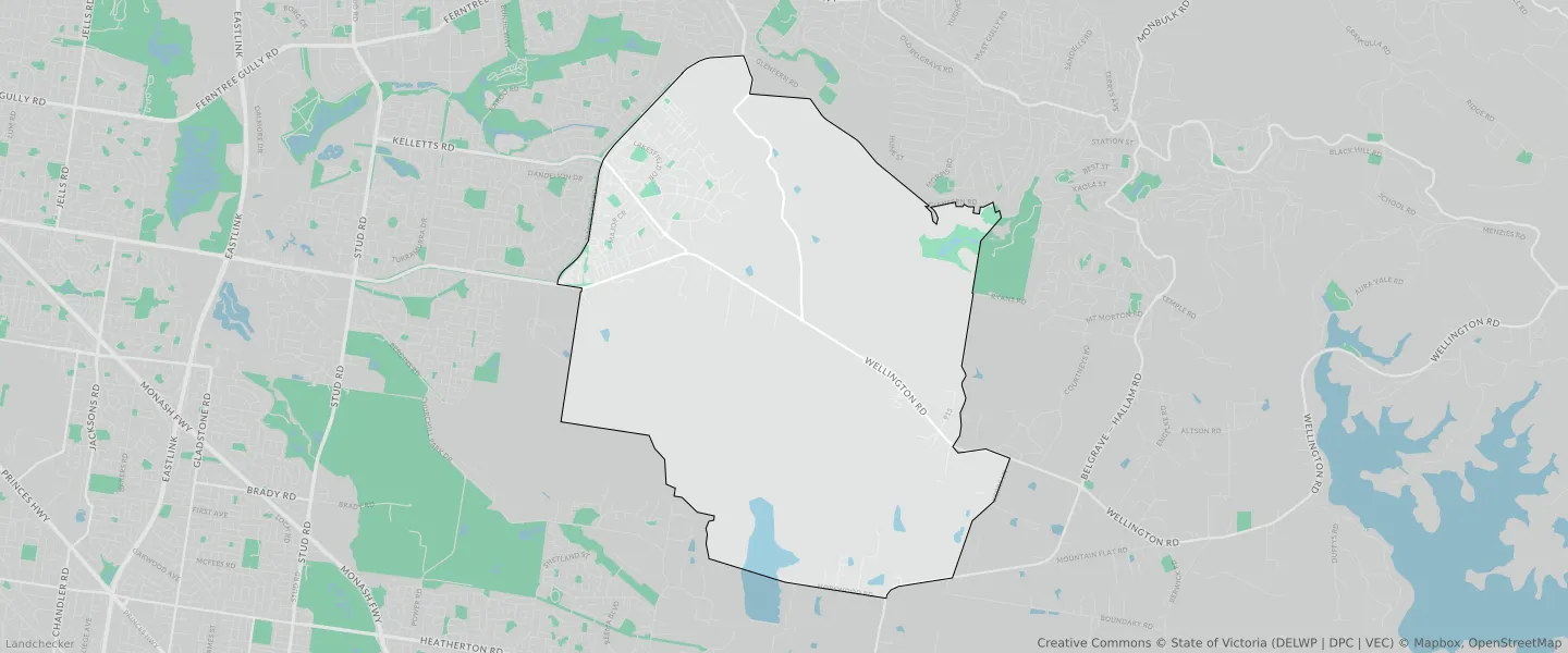
This Lysterfield suburb profile includes demographic data and planning information to help you make an informed property decision.
An average home in Lysterfield is owned with a mortgage by couples with children. The average age in Lysterfield is 41. Separate houses are common in Lysterfield and the area is mostly PUBLIC CONSERVATION AND RESOURCE ZONE (26.33%), GREEN WEDGE ZONE (23.89%) and PUBLIC CONSERVATION AND RESOURCE ZONE (14.44%).
Lysterfield demographics
Population
6681
Average Age
41
Age Distribution
Employment Type
Median Weekly Income
Traveled to Work
Car
90.2%
Tram
0.0%
Bicycle
0.3%
Train
0.8%
Walking
0.5%
Bus
0.5%
Lysterfield property information
Number of Bedrooms
Tenure Type
Property Types in Lysterfield
Separate house
Semi detached house
Unit/Apartment
Median monthly mortgage repayments
$2,200
Median weekly rental payments
$435
Average number of bedrooms per dwelling
3.9
Average number of people per household
3
Household Composition
Family Composition
Couple family without children
One parent family
Couple family with children
LYSTERFIELD planning zones
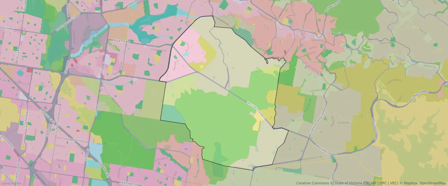
| Zone Code | Zone Name | Percentage Covered | Area Covered | |
|---|---|---|---|---|
| GWZ | GREEN WEDGE ZONE | 10.86% | 3,396,617.53㎡ | |
| GWZ | GREEN WEDGE ZONE | 23.89% | 7,467,594.83㎡ | |
| LDRZ | LOW DENSITY RESIDENTIAL ZONE | 0% | 290.83㎡ | |
| NRZ | NEIGHBOURHOOD RESIDENTIAL ZONE | 9.01% | 2,816,773.87㎡ | |
| PCRZ | PUBLIC CONSERVATION AND RESOURCE ZONE | 26.33% | 8,230,594.33㎡ | |
| PCRZ | PUBLIC CONSERVATION AND RESOURCE ZONE | 0% | 10.17㎡ | |
| PCRZ | PUBLIC CONSERVATION AND RESOURCE ZONE | 14.44% | 4,513,317.09㎡ | |
| PPRZ | PUBLIC PARK AND RECREATION ZONE | 2.57% | 802,683.7㎡ | |
| PUZ | PUBLIC USE ZONE | 0.21% | 66,617.64㎡ | |
| PUZ | PUBLIC USE ZONE | 1.64% | 513,849.29㎡ | |
| RCZ | RURAL CONSERVATION ZONE | 2.3% | 717,584.76㎡ | |
| RCZ | RURAL CONSERVATION ZONE | 2.49% | 777,005.32㎡ | |
| SUZ | SPECIAL USE ZONE | 4.11% | 1,285,601.01㎡ | |
| TRZ2 | TRANSPORT ZONE | 0.74% | 231,940.83㎡ | |
| TRZ2 | TRANSPORT ZONE | 1.14% | 357,637.71㎡ | |
| TRZ3 | TRANSPORT ZONE | 0.09% | 27,063.06㎡ | |
| UFZ | URBAN FLOODWAY ZONE | 0.17% | 53,090.21㎡ |
Looking to research a property in LYSTERFIELD?
Go to mapData Source - ABS