Lilydale VIC 3140
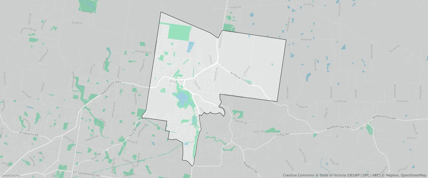
This Lilydale suburb profile includes demographic data and planning information to help you make an informed property decision.
An average home in Lilydale is owned with a mortgage by couples with children. The average age in Lilydale is 40. Separate houses are common in Lilydale and the area is mostly GREEN WEDGE ZONE (31.1%), NEIGHBOURHOOD RESIDENTIAL ZONE (16.74%) and GREEN WEDGE A ZONE (10.44%).
Lilydale demographics
Population
17348
Average Age
40
Age Distribution
Employment Type
Median Weekly Income
Traveled to Work
Car
88.3%
Tram
0.0%
Bicycle
0.2%
Train
1.9%
Walking
1.4%
Bus
0.6%
Lilydale property information
Number of Bedrooms
Tenure Type
Property Types in Lilydale
Separate house
Semi detached house
Unit/Apartment
Median monthly mortgage repayments
$1,950
Median weekly rental payments
$369
Average number of bedrooms per dwelling
3.2
Average number of people per household
3
Household Composition
Family Composition
Couple family without children
One parent family
Couple family with children
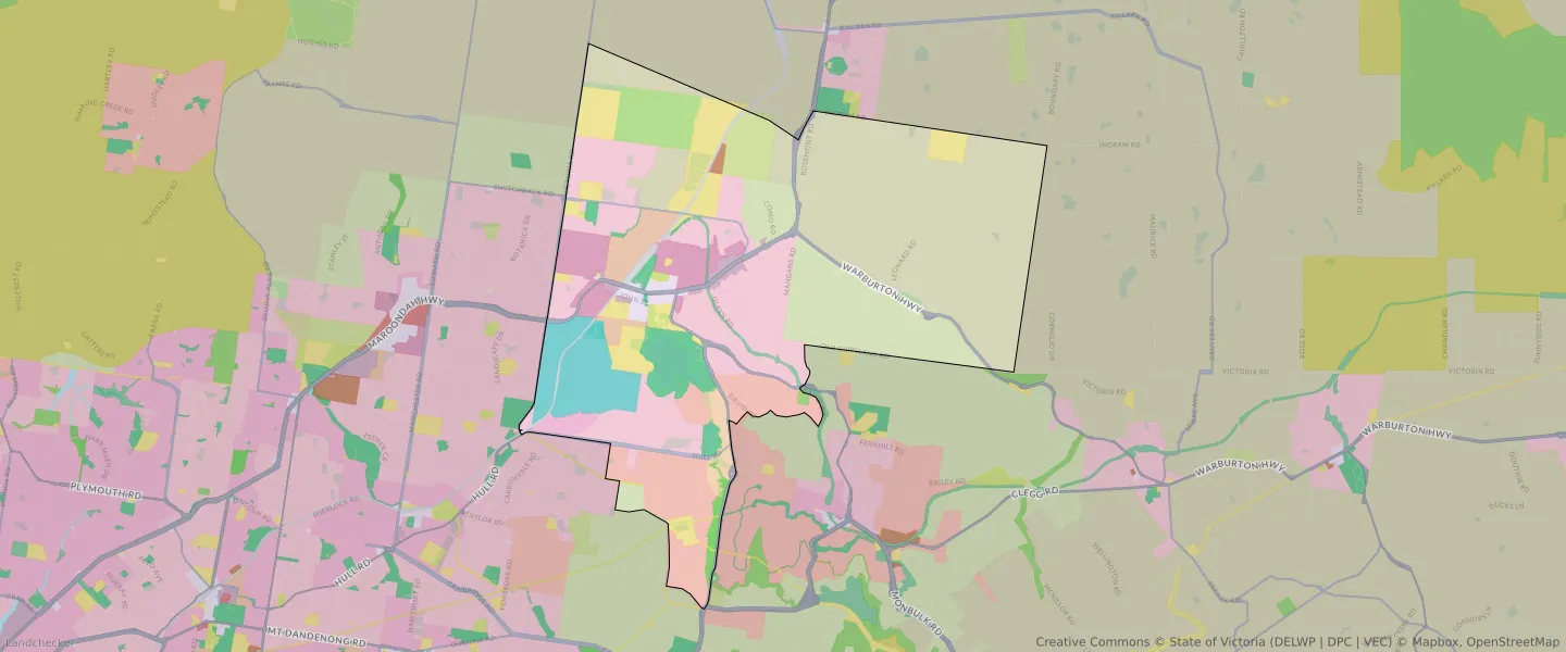
LILYDALE planning zones
| Zone Code | Zone Name | Percentage Covered | Area Covered | |
|---|---|---|---|---|
| C1Z | COMMERCIAL 1 ZONE | 0.83% | 243,208.15㎡ | |
| C2Z | COMMERCIAL 2 ZONE | 0.57% | 164,881.2㎡ | |
| CDZ | COMPREHENSIVE DEVELOPMENT ZONE | 4.94% | 1,438,875.3㎡ | |
| GRZ | GENERAL RESIDENTIAL ZONE | 0.65% | 190,738.82㎡ | |
| GWAZ | GREEN WEDGE A ZONE | 10.44% | 3,042,941.66㎡ | |
| GWZ | GREEN WEDGE ZONE | 31.1% | 9,068,058.01㎡ | |
| IN1Z | INDUSTRIAL 1 ZONE | 2.04% | 595,500.45㎡ | |
| IN3Z | INDUSTRIAL 3 ZONE | 0.18% | 51,242.97㎡ | |
| LDRZ | LOW DENSITY RESIDENTIAL ZONE | 7.66% | 2,232,804.91㎡ | |
| NRZ | NEIGHBOURHOOD RESIDENTIAL ZONE | 16.74% | 4,879,951.68㎡ | |
| PCRZ | PUBLIC CONSERVATION AND RESOURCE ZONE | 0.6% | 175,007.83㎡ | |
| PPRZ | PUBLIC PARK AND RECREATION ZONE | 3.67% | 1,071,059.23㎡ | |
| PUZ | PUBLIC USE ZONE | 7.31% | 2,130,297.2㎡ | |
| RGZ | RESIDENTIAL GROWTH ZONE | 3.56% | 1,037,258.89㎡ | |
| RLZ | RURAL LIVING ZONE | 1.03% | 299,215.45㎡ | |
| SUZ | SPECIAL USE ZONE | 4.7% | 1,371,892.3㎡ | |
| TRZ1 | TRANSPORT ZONE | 0.77% | 223,797㎡ | |
| TRZ2 | TRANSPORT ZONE | 2.44% | 712,450.81㎡ | |
| TRZ3 | TRANSPORT ZONE | 0.77% | 224,654.72㎡ |
Looking to research a property in LILYDALE?
Go to mapData Source - ABS