Lancefield VIC 3435
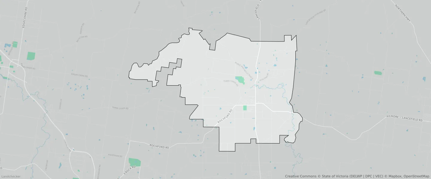
This Lancefield suburb profile includes demographic data and planning information to help you make an informed property decision.
An average home in Lancefield is owned with a mortgage by couples with children. The average age in Lancefield is 41. Separate houses are common in Lancefield and the area is mostly FARMING ZONE (41.09%), RURAL CONSERVATION ZONE (28.6%) and PUBLIC CONSERVATION AND RESOURCE ZONE (14.08%).
Lancefield demographics
Population
2743
Average Age
41
Age Distribution
Employment Type
Median Weekly Income
Traveled to Work
Car
89.0%
Tram
0.0%
Bicycle
0.0%
Train
1.0%
Walking
2.4%
Bus
0.0%
Lancefield property information
Number of Bedrooms
Tenure Type
Property Types in Lancefield
Separate house
Semi detached house
Unit/Apartment
Median monthly mortgage repayments
$1,766
Median weekly rental payments
$360
Average number of bedrooms per dwelling
3.4
Average number of people per household
3
Household Composition
Family Composition
Couple family without children
One parent family
Couple family with children
LANCEFIELD planning zones
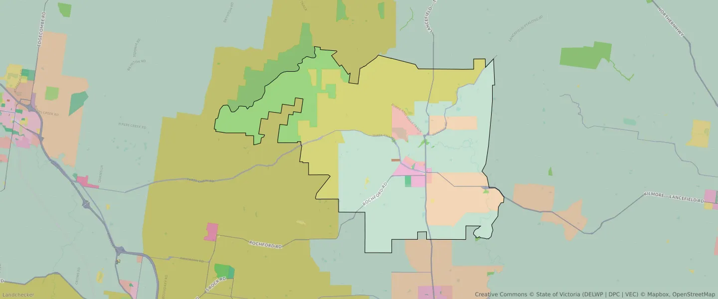
| Zone Code | Zone Name | Percentage Covered | Area Covered | |
|---|---|---|---|---|
| C1Z | COMMERCIAL 1 ZONE | 0.03% | 43,586.05㎡ | |
| C2Z | COMMERCIAL 2 ZONE | 0.01% | 15,483.86㎡ | |
| FZ | FARMING ZONE | 41.09% | 51,817,943.94㎡ | |
| FZ | FARMING ZONE | 0% | 3,094.89㎡ | |
| GRZ | GENERAL RESIDENTIAL ZONE | 1.38% | 1,744,880.24㎡ | |
| IN3Z | INDUSTRIAL 3 ZONE | 0.05% | 65,595.89㎡ | |
| LDRZ | LOW DENSITY RESIDENTIAL ZONE | 2.22% | 2,803,154.39㎡ | |
| PCRZ | PUBLIC CONSERVATION AND RESOURCE ZONE | 14.08% | 17,760,862.67㎡ | |
| PPRZ | PUBLIC PARK AND RECREATION ZONE | 0.22% | 277,215.15㎡ | |
| PUZ | PUBLIC USE ZONE | 0.1% | 121,302.82㎡ | |
| RCZ | RURAL CONSERVATION ZONE | 28.6% | 36,086,346.63㎡ | |
| RLZ | RURAL LIVING ZONE | 10.91% | 13,760,473.62㎡ | |
| TRZ2 | TRANSPORT ZONE | 0.74% | 937,937.03㎡ | |
| TRZ3 | TRANSPORT ZONE | 0.56% | 704,393.67㎡ |
Looking to research a property in LANCEFIELD?
Go to mapData Source - ABS