Kooragang NSW 2304
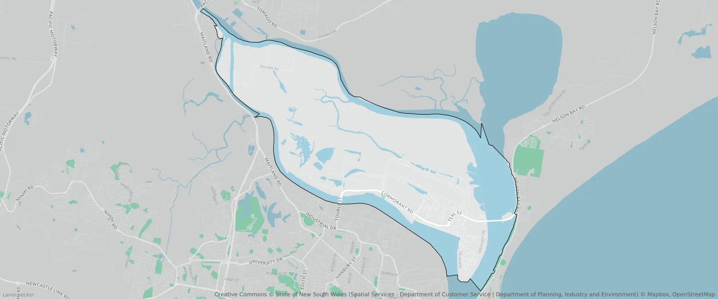
This Kooragang suburb profile includes demographic data and planning information to help you make an informed property decision.
An average home in Kooragang is other/not stated by group households. The average age in Kooragang is 40. Units and Apartments are common in Kooragang and the area is mostly National Parks and Nature Reserves (50.74%), Infrastructure (40.03%) and Infrastructure (4.44%).
KOORAGANG planning zones
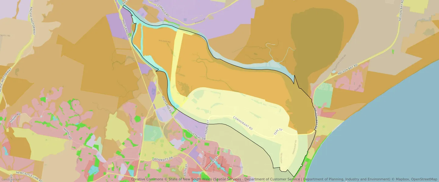
| Zone Code | Zone Name | Percentage Covered | Area Covered | |
|---|---|---|---|---|
| C1 | National Parks and Nature Reserves | 50.74% | 18,012,255.11㎡ | |
| C2 | Environmental Conservation | 0.01% | 1,913.25㎡ | |
| C3 | Environmental Conservation | 0.61% | 215,777.51㎡ | |
| E5 | Heavy Industrial | 0.01% | 2,621.89㎡ | |
| SP1 | Infrastructure | 40.03% | 14,208,858.32㎡ | |
| SP2 | Infrastructure | 4.44% | 1,576,117.98㎡ | |
| W2 | Recreational Waterways | 4.2% | 1,491,192.01㎡ |
Looking to research a property in KOORAGANG?
Go to mapData Source - ABS