Knoxfield VIC 3180
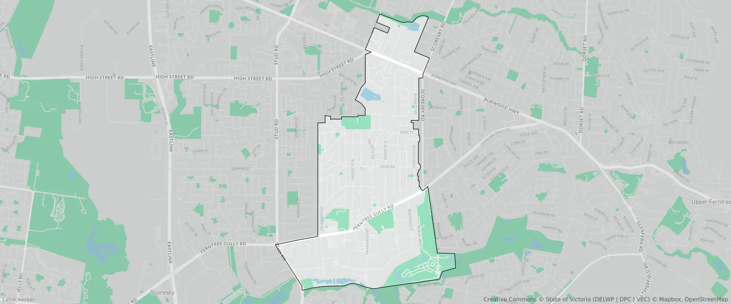
This Knoxfield suburb profile includes demographic data and planning information to help you make an informed property decision.
An average home in Knoxfield is owned with a mortgage by couples with children. The average age in Knoxfield is 41. Separate houses are common in Knoxfield and the area is mostly NEIGHBOURHOOD RESIDENTIAL ZONE (42.85%), INDUSTRIAL 1 ZONE (26.07%) and COMPREHENSIVE DEVELOPMENT ZONE (10.31%).
Knoxfield demographics
Population
7645
Average Age
41
Age Distribution
Employment Type
Median Weekly Income
Traveled to Work
Car
88.5%
Tram
0.0%
Bicycle
0.3%
Train
1.0%
Walking
1.7%
Bus
1.4%
Knoxfield property information
Number of Bedrooms
Tenure Type
Property Types in Knoxfield
Separate house
Semi detached house
Unit/Apartment
Median monthly mortgage repayments
$2,000
Median weekly rental payments
$421
Average number of bedrooms per dwelling
3.3
Average number of people per household
3
Household Composition
Family Composition
Couple family without children
One parent family
Couple family with children
KNOXFIELD planning zones
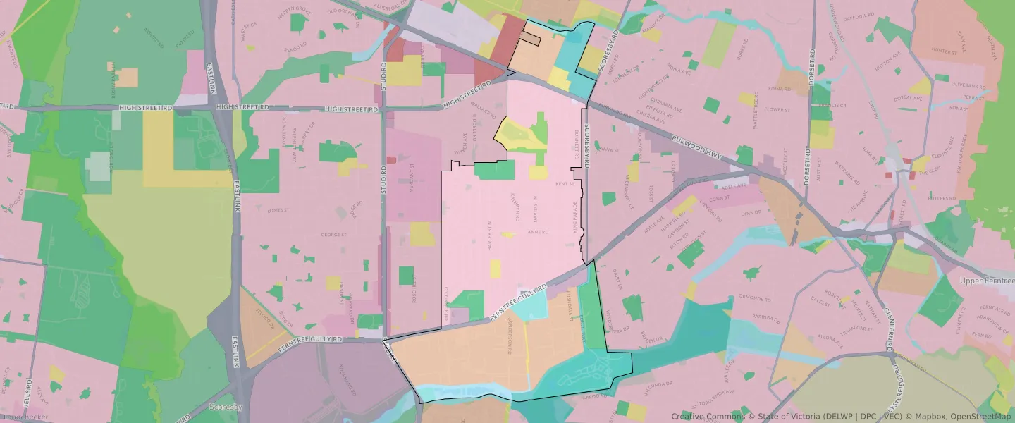
| Zone Code | Zone Name | Percentage Covered | Area Covered | |
|---|---|---|---|---|
| C1Z | COMMERCIAL 1 ZONE | 0.21% | 11,746.68㎡ | |
| C2Z | COMMERCIAL 2 ZONE | 1.63% | 91,701.77㎡ | |
| CDZ | COMPREHENSIVE DEVELOPMENT ZONE | 10.31% | 578,410.17㎡ | |
| IN1Z | INDUSTRIAL 1 ZONE | 26.07% | 1,462,689.04㎡ | |
| NRZ | NEIGHBOURHOOD RESIDENTIAL ZONE | 42.85% | 2,404,540.88㎡ | |
| PCRZ | PUBLIC CONSERVATION AND RESOURCE ZONE | 1.19% | 66,921.21㎡ | |
| PPRZ | PUBLIC PARK AND RECREATION ZONE | 5.72% | 320,783.19㎡ | |
| PUZ | PUBLIC USE ZONE | 3.99% | 223,904.49㎡ | |
| TRZ2 | TRANSPORT ZONE | 3.34% | 187,184.98㎡ | |
| UFZ | URBAN FLOODWAY ZONE | 4.69% | 263,240.09㎡ |
Looking to research a property in KNOXFIELD?
Go to mapData Source - ABS