Jerrawangala NSW 2540
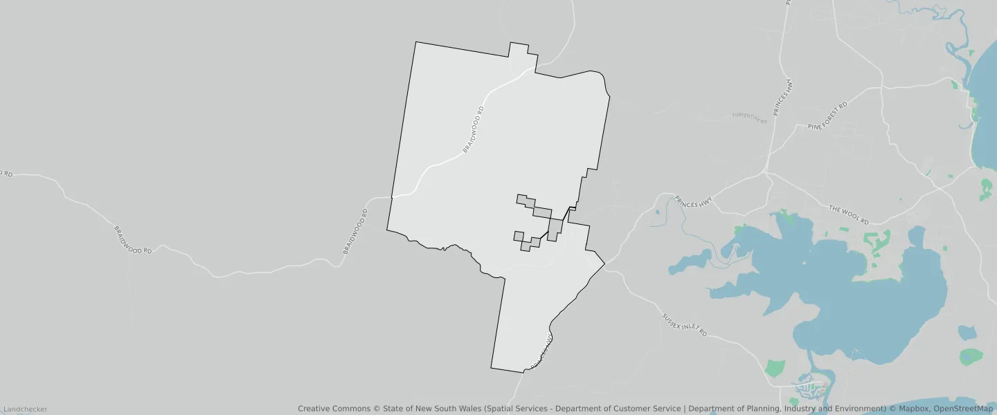
This Jerrawangala suburb profile includes demographic data and planning information to help you make an informed property decision.
An average home in Jerrawangala is owned with a mortgage by couples with children. The average age in Jerrawangala is 48. Separate houses are common in Jerrawangala and the area is mostly National Parks and Nature Reserves (35.29%), Forestry (32.98%) and Environmental Conservation (19.94%).
Jerrawangala demographics
Population
60
Average Age
48
Age Distribution
Employment Type
Median Weekly Income
Traveled to Work
Car
75.0%
Tram
0.0%
Bicycle
0.0%
Train
0.0%
Walking
12.5%
Bus
0.0%
Jerrawangala property information
Number of Bedrooms
Tenure Type
Property Types in Jerrawangala
Separate house
Semi detached house
Unit/Apartment
Median monthly mortgage repayments
$1,733
Median weekly rental payments
$413
Average number of bedrooms per dwelling
3.6
Average number of people per household
3
Household Composition
Family Composition
Couple family without children
One parent family
Couple family with children
JERRAWANGALA planning zones
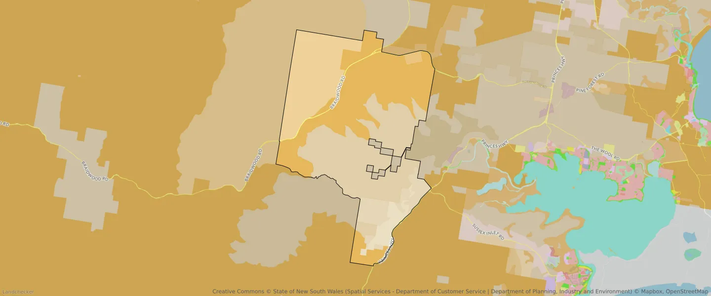
| Zone Code | Zone Name | Percentage Covered | Area Covered | |
|---|---|---|---|---|
| C1 | National Parks and Nature Reserves | 35.29% | 32,466,872.5㎡ | |
| C2 | Environmental Conservation | 0.8% | 732,062.61㎡ | |
| C3 | Environmental Conservation | 19.94% | 18,347,990.99㎡ | |
| RU1 | Primary Production | 3.88% | 3,563,423.68㎡ | |
| RU2 | Rural Landscape | 6.42% | 5,901,144.44㎡ | |
| RU3 | Forestry | 32.98% | 30,329,486.87㎡ | |
| SP2 | Infrastructure | 0.7% | 640,789.51㎡ |
Looking to research a property in JERRAWANGALA?
Go to mapData Source - ABS