Huntly VIC 3551
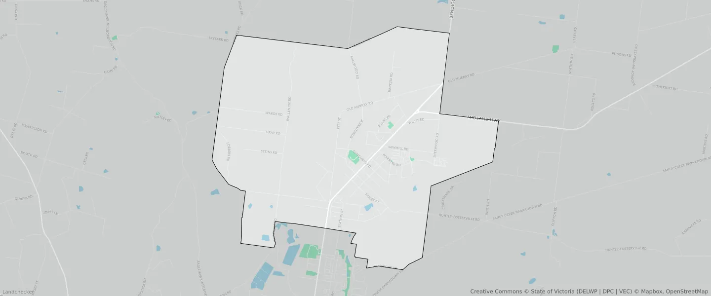
This Huntly suburb profile includes demographic data and planning information to help you make an informed property decision.
An average home in Huntly is owned with a mortgage by couples with children. The average age in Huntly is 32. Separate houses are common in Huntly and the area is mostly FARMING ZONE (38.95%), PUBLIC CONSERVATION AND RESOURCE ZONE (25.89%) and LOW DENSITY RESIDENTIAL ZONE (17.19%).
Huntly demographics
Population
3585
Average Age
32
Age Distribution
Employment Type
Median Weekly Income
Traveled to Work
Car
91.3%
Tram
0.0%
Bicycle
0.0%
Train
0.0%
Walking
1.1%
Bus
1.2%
Huntly property information
Number of Bedrooms
Tenure Type
Property Types in Huntly
Separate house
Semi detached house
Unit/Apartment
Median monthly mortgage repayments
$1,517
Median weekly rental payments
$360
Average number of bedrooms per dwelling
3.6
Average number of people per household
3
Household Composition
Family Composition
Couple family without children
One parent family
Couple family with children
HUNTLY planning zones
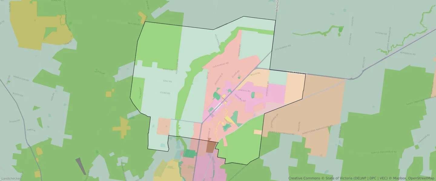
| Zone Code | Zone Name | Percentage Covered | Area Covered | |
|---|---|---|---|---|
| C1Z | COMMERCIAL 1 ZONE | 0.13% | 59,645.7㎡ | |
| C2Z | COMMERCIAL 2 ZONE | 0.06% | 25,693.76㎡ | |
| FZ | FARMING ZONE | 38.95% | 17,461,547.94㎡ | |
| GRZ | GENERAL RESIDENTIAL ZONE | 7.61% | 3,411,333.96㎡ | |
| IN1Z | INDUSTRIAL 1 ZONE | 1.14% | 511,583.18㎡ | |
| IN3Z | INDUSTRIAL 3 ZONE | 0.04% | 16,672.74㎡ | |
| LDRZ | LOW DENSITY RESIDENTIAL ZONE | 17.19% | 7,703,860.93㎡ | |
| PCRZ | PUBLIC CONSERVATION AND RESOURCE ZONE | 25.89% | 11,605,784.8㎡ | |
| PPRZ | PUBLIC PARK AND RECREATION ZONE | 1.15% | 514,302.2㎡ | |
| PUZ | PUBLIC USE ZONE | 0.47% | 210,755.06㎡ | |
| RLZ | RURAL LIVING ZONE | 5.27% | 2,361,347.6㎡ | |
| TRZ1 | TRANSPORT ZONE | 0.34% | 151,104.18㎡ | |
| TRZ2 | TRANSPORT ZONE | 0.65% | 289,110.5㎡ | |
| TRZ3 | TRANSPORT ZONE | 0.07% | 31,586.18㎡ | |
| UGZ | URBAN GROWTH ZONE | 1.05% | 470,069.05㎡ |
Looking to research a property in HUNTLY?
Go to mapData Source - ABS