Goornong VIC 3557
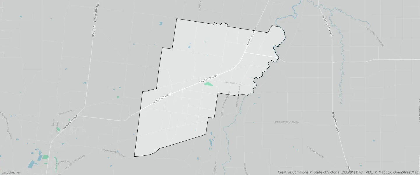
This Goornong suburb profile includes demographic data and planning information to help you make an informed property decision.
An average home in Goornong is owned with a mortgage by couples with children. The average age in Goornong is 40. Separate houses are common in Goornong and the area is mostly FARMING ZONE (78.4%), PUBLIC CONSERVATION AND RESOURCE ZONE (10.64%) and RURAL LIVING ZONE (6.8%).
Goornong demographics
Population
718
Average Age
40
Age Distribution
Employment Type
Median Weekly Income
Traveled to Work
Car
92.5%
Tram
0.0%
Bicycle
0.0%
Train
0.0%
Walking
4.0%
Bus
0.0%
Goornong property information
Number of Bedrooms
Tenure Type
Property Types in Goornong
Separate house
Semi detached house
Unit/Apartment
Median monthly mortgage repayments
$1,300
Median weekly rental payments
$245
Average number of bedrooms per dwelling
3.3
Average number of people per household
3
Household Composition
Family Composition
Couple family without children
One parent family
Couple family with children
GOORNONG planning zones
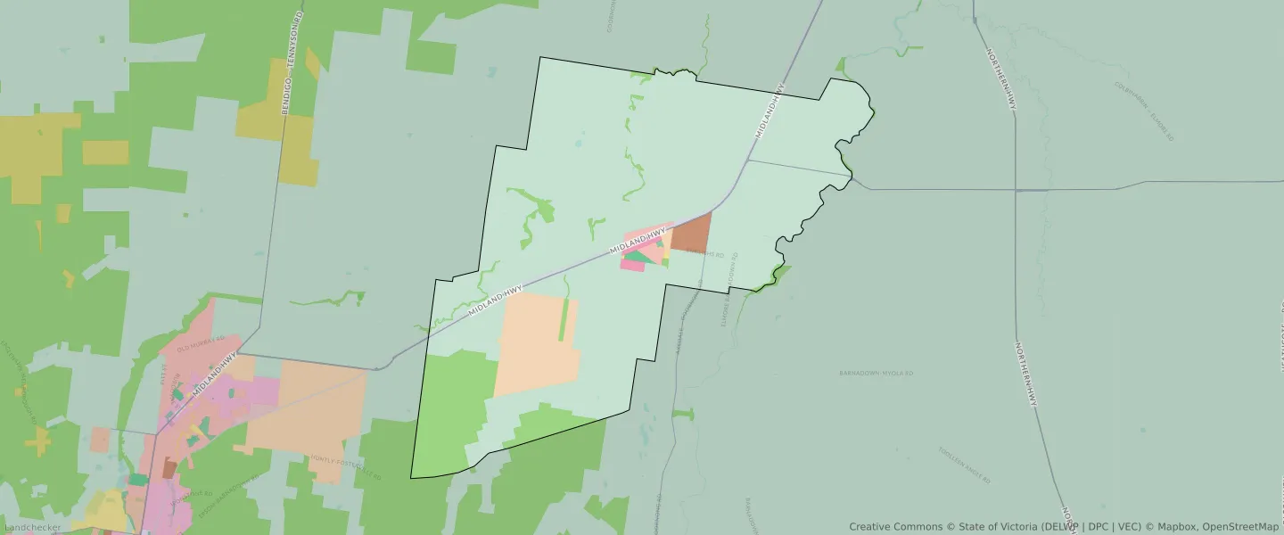
| Zone Code | Zone Name | Percentage Covered | Area Covered | |
|---|---|---|---|---|
| FZ | FARMING ZONE | 78.4% | 96,217,067.45㎡ | |
| IN3Z | INDUSTRIAL 3 ZONE | 1.06% | 1,304,116.21㎡ | |
| LDRZ | LOW DENSITY RESIDENTIAL ZONE | 0.65% | 792,402.41㎡ | |
| PCRZ | PUBLIC CONSERVATION AND RESOURCE ZONE | 10.64% | 13,048,982.97㎡ | |
| PPRZ | PUBLIC PARK AND RECREATION ZONE | 0.23% | 277,100.54㎡ | |
| PUZ | PUBLIC USE ZONE | 0.05% | 56,254.24㎡ | |
| RLZ | RURAL LIVING ZONE | 6.8% | 8,337,464.91㎡ | |
| TRZ1 | TRANSPORT ZONE | 1.1% | 1,351,495.45㎡ | |
| TRZ2 | TRANSPORT ZONE | 0.54% | 659,168.13㎡ | |
| TRZ3 | TRANSPORT ZONE | 0.04% | 55,071.63㎡ | |
| TZ | TOWNSHIP ZONE | 0.5% | 613,413.34㎡ |
Looking to research a property in GOORNONG?
Go to mapData Source - ABS