Glengarry VIC 3854
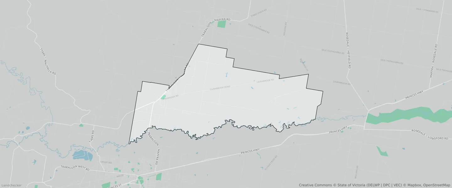
This Glengarry suburb profile includes demographic data and planning information to help you make an informed property decision.
An average home in Glengarry is owned with a mortgage by couples with children. The average age in Glengarry is 40. Separate houses are common in Glengarry and the area is mostly FARMING ZONE (79.94%), FARMING ZONE (14.14%) and PUBLIC CONSERVATION AND RESOURCE ZONE (1.82%).
Glengarry demographics
Population
1113
Average Age
40
Age Distribution
Employment Type
Median Weekly Income
Traveled to Work
Car
88.3%
Tram
0.0%
Bicycle
0.0%
Train
0.0%
Walking
1.7%
Bus
0.0%
Glengarry property information
Number of Bedrooms
Tenure Type
Property Types in Glengarry
Separate house
Semi detached house
Unit/Apartment
Median monthly mortgage repayments
$1,517
Median weekly rental payments
$270
Average number of bedrooms per dwelling
3.5
Average number of people per household
3
Household Composition
Family Composition
Couple family without children
One parent family
Couple family with children
GLENGARRY planning zones
| Zone Code | Zone Name | Percentage Covered | Area Covered | |
|---|---|---|---|---|
| FZ | FARMING ZONE | 14.14% | 13,836,433.51㎡ | |
| FZ | FARMING ZONE | 79.94% | 78,239,416.97㎡ | |
| GRZ | GENERAL RESIDENTIAL ZONE | 0.32% | 313,258㎡ | |
| NRZ | NEIGHBOURHOOD RESIDENTIAL ZONE | 0.67% | 659,460.28㎡ | |
| PCRZ | PUBLIC CONSERVATION AND RESOURCE ZONE | 0.3% | 293,763.73㎡ | |
| PCRZ | PUBLIC CONSERVATION AND RESOURCE ZONE | 1.82% | 1,782,109.61㎡ | |
| PPRZ | PUBLIC PARK AND RECREATION ZONE | 0.36% | 355,569.61㎡ | |
| PUZ | PUBLIC USE ZONE | 0.06% | 60,937.92㎡ | |
| PUZ | PUBLIC USE ZONE | 0.01% | 10,706.85㎡ | |
| RLZ | RURAL LIVING ZONE | 0.17% | 168,587.81㎡ | |
| RLZ | RURAL LIVING ZONE | 0.83% | 811,693.29㎡ | |
| TRZ2 | TRANSPORT ZONE | 0.39% | 382,043.01㎡ | |
| TRZ2 | TRANSPORT ZONE | 0.1% | 97,667.54㎡ | |
| TRZ3 | TRANSPORT ZONE | 0.08% | 75,175.82㎡ | |
| TRZ3 | TRANSPORT ZONE | 0.74% | 725,543.74㎡ | |
| TZ | TOWNSHIP ZONE | 0.06% | 54,440.43㎡ |
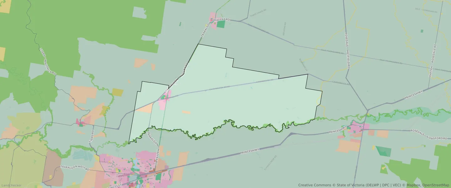
Looking to research a property in GLENGARRY?
Go to mapData Source - ABS