Fyansford VIC 3218
This Fyansford suburb profile includes demographic data and planning information to help you make an informed property decision.
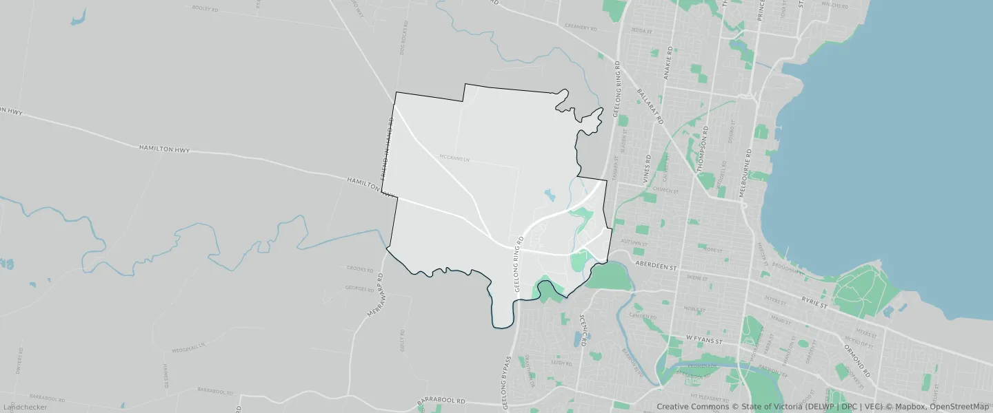
An average home in Fyansford is owned with a mortgage by couples with children. The average age in Fyansford is 34. Separate houses are common in Fyansford and the area is mostly URBAN GROWTH ZONE (67.87%), SPECIAL USE ZONE (12.03%) and GENERAL RESIDENTIAL ZONE (6.67%).
Fyansford demographics
Population
1206
Average Age
34
Age Distribution
Employment Type
Median Weekly Income
Traveled to Work
Car
92.0%
Tram
0.0%
Bicycle
0.0%
Train
0.9%
Walking
1.6%
Bus
0.0%
Fyansford property information
Number of Bedrooms
Tenure Type
Property Types in Fyansford
Separate house
Semi detached house
Unit/Apartment
Median monthly mortgage repayments
$2,167
Median weekly rental payments
$485
Average number of bedrooms per dwelling
3.5
Average number of people per household
3
Household Composition
Family Composition
Couple family without children
One parent family
Couple family with children
FYANSFORD planning zones

| Zone Code | Zone Name | Percentage Covered | Area Covered | |
|---|---|---|---|---|
| C1Z | COMMERCIAL 1 ZONE | 0.41% | 75,387.86㎡ | |
| GRZ | GENERAL RESIDENTIAL ZONE | 6.67% | 1,235,945.45㎡ | |
| IN1Z | INDUSTRIAL 1 ZONE | 0.85% | 157,634.81㎡ | |
| MUZ | MIXED USE ZONE | 0.1% | 18,454.59㎡ | |
| NRZ | NEIGHBOURHOOD RESIDENTIAL ZONE | 0.06% | 10,492.51㎡ | |
| PCRZ | PUBLIC CONSERVATION AND RESOURCE ZONE | 4.07% | 754,721.5㎡ | |
| PPRZ | PUBLIC PARK AND RECREATION ZONE | 0.82% | 151,141.5㎡ | |
| PUZ | PUBLIC USE ZONE | 0% | 892.97㎡ | |
| RLZ | RURAL LIVING ZONE | 2.27% | 420,409.36㎡ | |
| SUZ | SPECIAL USE ZONE | 12.03% | 2,229,156.29㎡ | |
| TRZ2 | TRANSPORT ZONE | 4.43% | 821,359.81㎡ | |
| UFZ | URBAN FLOODWAY ZONE | 0.41% | 76,128.37㎡ | |
| UGZ | URBAN GROWTH ZONE | 67.87% | 12,573,242.2㎡ |
Looking to research a property in FYANSFORD?
Go to mapData Source - ABS