Fernshaw VIC 3778
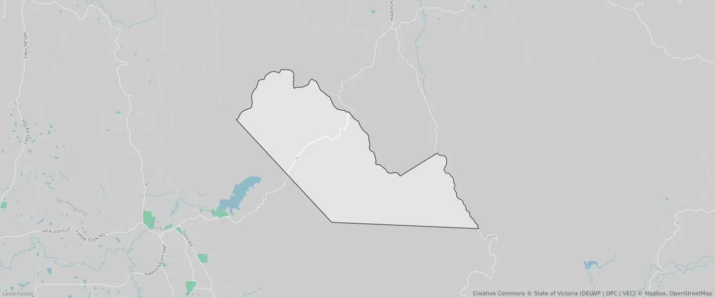
This Fernshaw suburb profile includes demographic data and planning information to help you make an informed property decision.
An average home in Fernshaw is other/not stated by group households. The average age in Fernshaw is 0. Units and Apartments are common in Fernshaw and the area is mostly PUBLIC USE ZONE (86.31%), PUBLIC CONSERVATION AND RESOURCE ZONE (13.36%) and TRANSPORT ZONE (0.33%).
FERNSHAW planning zones
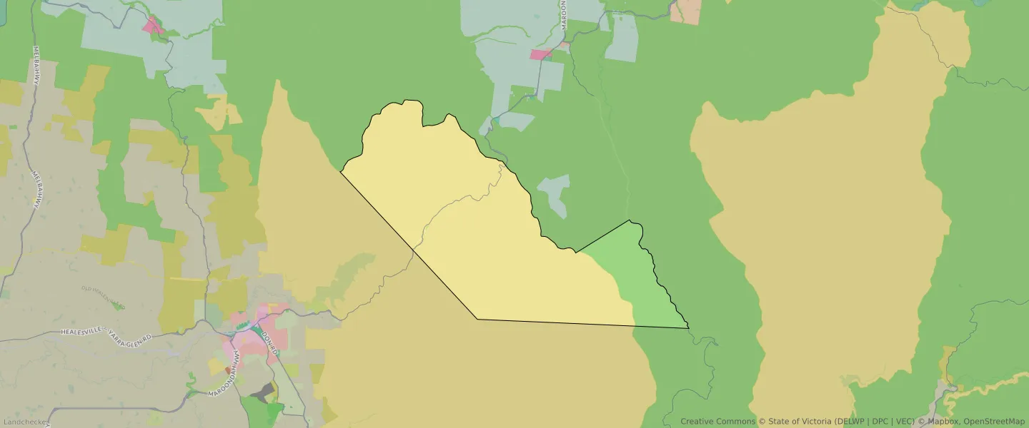
| Zone Code | Zone Name | Percentage Covered | Area Covered | |
|---|---|---|---|---|
| PCRZ | PUBLIC CONSERVATION AND RESOURCE ZONE | 0% | 60.47㎡ | |
| PCRZ | PUBLIC CONSERVATION AND RESOURCE ZONE | 13.36% | 8,748,499.59㎡ | |
| PUZ | PUBLIC USE ZONE | 86.31% | 56,546,677.77㎡ | |
| TRZ2 | TRANSPORT ZONE | 0.33% | 215,034.8㎡ |
Looking to research a property in FERNSHAW?
Go to mapData Source - ABS