Evansford VIC 3371
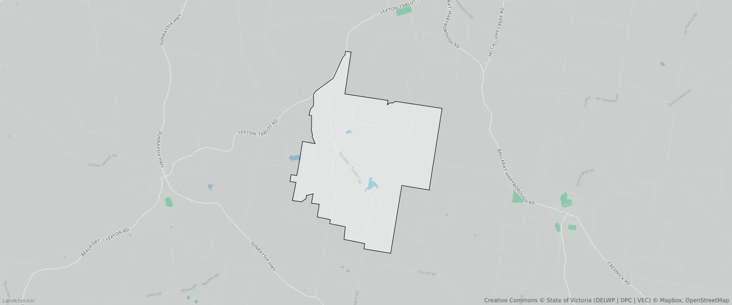
This Evansford suburb profile includes demographic data and planning information to help you make an informed property decision.
An average home in Evansford is owned with a mortgage by couples without children. The average age in Evansford is 52. Separate houses are common in Evansford and the area is mostly FARMING ZONE (58.21%), FARMING ZONE (38.23%) and PUBLIC USE ZONE (1.68%).
Evansford demographics
Population
147
Average Age
52
Age Distribution
Employment Type
Median Weekly Income
Traveled to Work
Car
100.0%
Tram
0.0%
Bicycle
0.0%
Train
0.0%
Walking
8.6%
Bus
0.0%
Evansford property information
Number of Bedrooms
Tenure Type
Property Types in Evansford
Separate house
Semi detached house
Unit/Apartment
Median monthly mortgage repayments
$1,083
Median weekly rental payments
$180
Average number of bedrooms per dwelling
3.0
Average number of people per household
2
Household Composition
Family Composition
Couple family without children
One parent family
Couple family with children
EVANSFORD planning zones
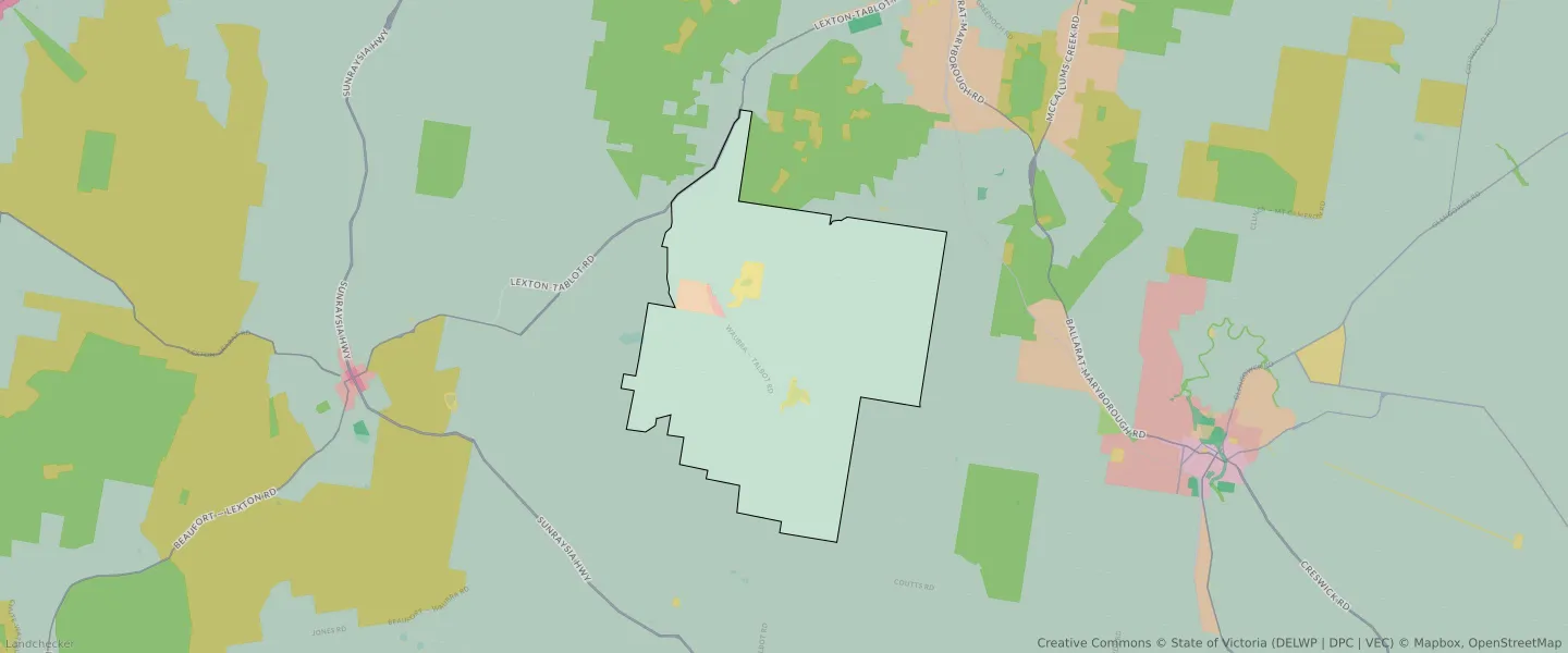
| Zone Code | Zone Name | Percentage Covered | Area Covered | |
|---|---|---|---|---|
| FZ | FARMING ZONE | 58.21% | 34,389,332.51㎡ | |
| FZ | FARMING ZONE | 38.23% | 22,587,024.99㎡ | |
| LDRZ | LOW DENSITY RESIDENTIAL ZONE | 0.28% | 165,456.14㎡ | |
| PUZ | PUBLIC USE ZONE | 1.68% | 992,144.69㎡ | |
| PUZ | PUBLIC USE ZONE | 0.12% | 71,036.11㎡ | |
| RLZ | RURAL LIVING ZONE | 1.3% | 765,666.04㎡ | |
| TRZ2 | TRANSPORT ZONE | 0.18% | 108,245.83㎡ |
Looking to research a property in EVANSFORD?
Go to mapData Source - ABS