Drouin VIC 3818
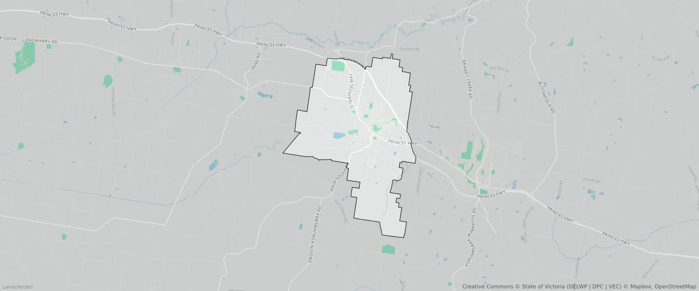
This Drouin suburb profile includes demographic data and planning information to help you make an informed property decision.
An average home in Drouin is owned with a mortgage by couples without children. The average age in Drouin is 39. Separate houses are common in Drouin and the area is mostly FARMING ZONE (43.86%), URBAN GROWTH ZONE (14.75%) and LOW DENSITY RESIDENTIAL ZONE (13.76%).
Drouin demographics
Population
15287
Average Age
39
Age Distribution
Employment Type
Median Weekly Income
Traveled to Work
Car
89.7%
Tram
0.0%
Bicycle
0.2%
Train
0.9%
Walking
1.6%
Bus
0.2%
Drouin property information
Number of Bedrooms
Tenure Type
Property Types in Drouin
Separate house
Semi detached house
Unit/Apartment
Median monthly mortgage repayments
$1,647
Median weekly rental payments
$330
Average number of bedrooms per dwelling
3.3
Average number of people per household
3
Household Composition
Family Composition
Couple family without children
One parent family
Couple family with children
DROUIN planning zones
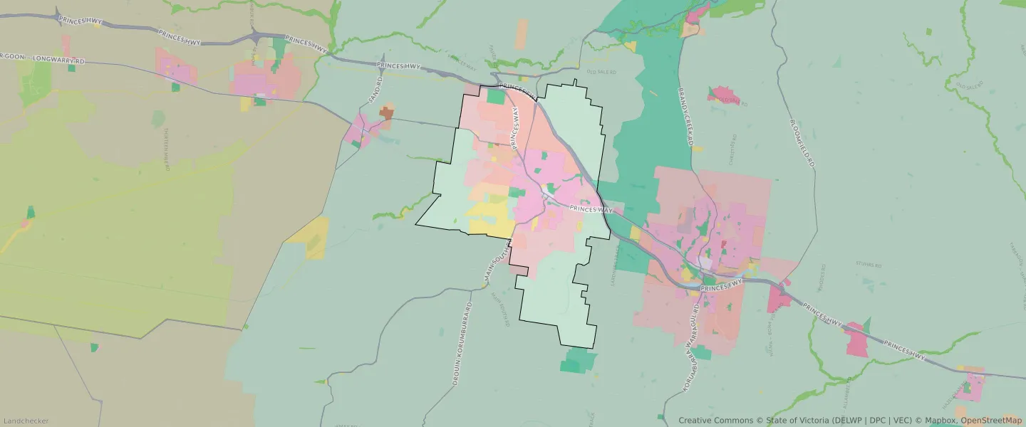
| Zone Code | Zone Name | Percentage Covered | Area Covered | |
|---|---|---|---|---|
| C1Z | COMMERCIAL 1 ZONE | 0.24% | 125,282.32㎡ | |
| C2Z | COMMERCIAL 2 ZONE | 0.01% | 7,522.53㎡ | |
| FZ | FARMING ZONE | 43.86% | 22,998,521.23㎡ | |
| GRZ | GENERAL RESIDENTIAL ZONE | 12.74% | 6,681,133.64㎡ | |
| IN1Z | INDUSTRIAL 1 ZONE | 1.11% | 582,397.48㎡ | |
| IN3Z | INDUSTRIAL 3 ZONE | 0.02% | 11,358.33㎡ | |
| LDRZ | LOW DENSITY RESIDENTIAL ZONE | 13.76% | 7,216,271.01㎡ | |
| PCRZ | PUBLIC CONSERVATION AND RESOURCE ZONE | 0.31% | 164,509.36㎡ | |
| PPRZ | PUBLIC PARK AND RECREATION ZONE | 2.33% | 1,221,660.22㎡ | |
| PUZ | PUBLIC USE ZONE | 5.23% | 2,740,424.79㎡ | |
| RAZ | RURAL ACTIVITY ZONE | 0.12% | 62,855.51㎡ | |
| RLZ | RURAL LIVING ZONE | 1.59% | 831,861.99㎡ | |
| TRZ1 | TRANSPORT ZONE | 0.68% | 356,050.88㎡ | |
| TRZ2 | TRANSPORT ZONE | 3.26% | 1,712,452.03㎡ | |
| UGZ | URBAN GROWTH ZONE | 14.75% | 7,734,601.82㎡ |
Looking to research a property in DROUIN?
Go to mapData Source - ABS