Dennington VIC 3280
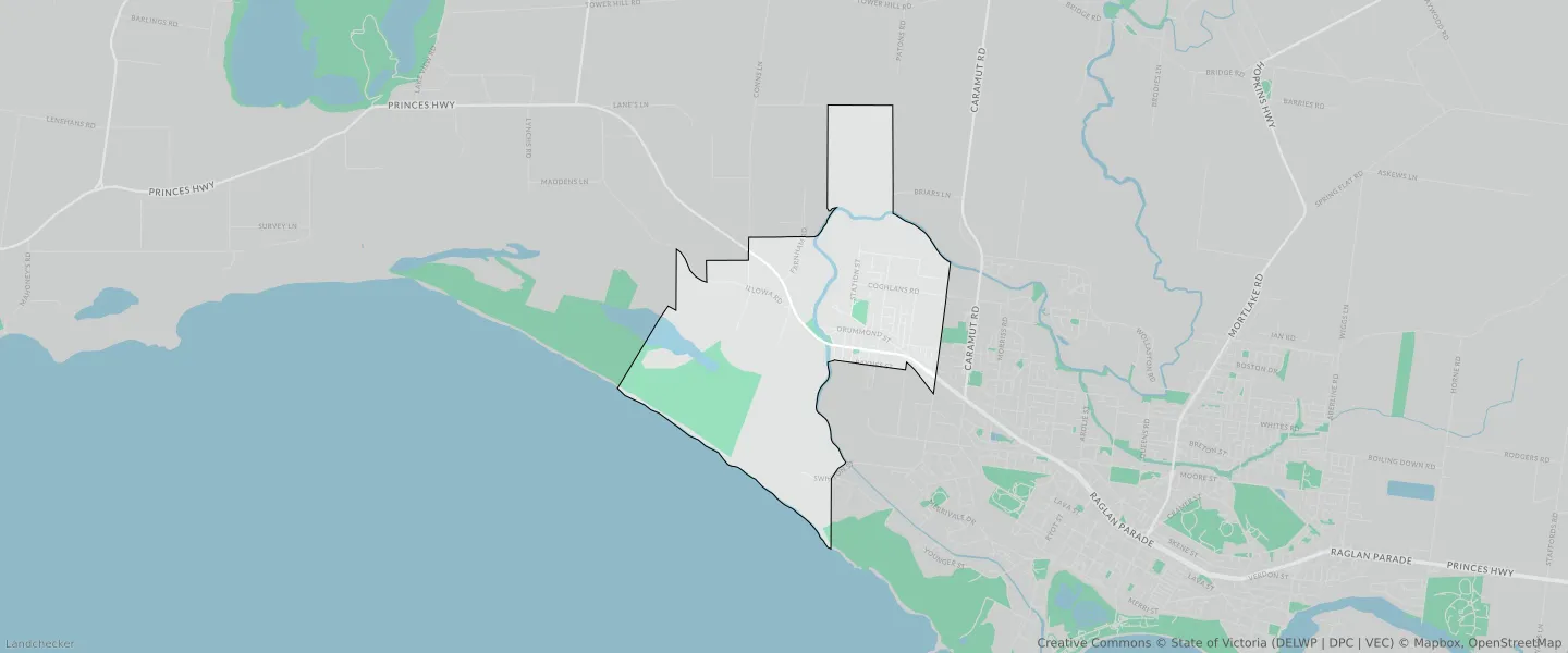
This Dennington suburb profile includes demographic data and planning information to help you make an informed property decision.
An average home in Dennington is owned with a mortgage by couples with children. The average age in Dennington is 34. Separate houses are common in Dennington and the area is mostly FARMING ZONE (34.92%), FARMING ZONE (30.06%) and GENERAL RESIDENTIAL ZONE (15.42%).
Dennington demographics
Population
1994
Average Age
34
Age Distribution
Employment Type
Median Weekly Income
Traveled to Work
Car
90.6%
Tram
0.0%
Bicycle
0.8%
Train
0.0%
Walking
2.3%
Bus
0.6%
Dennington property information
Number of Bedrooms
Tenure Type
Property Types in Dennington
Separate house
Semi detached house
Unit/Apartment
Median monthly mortgage repayments
$1,430
Median weekly rental payments
$370
Average number of bedrooms per dwelling
3.3
Average number of people per household
3
Household Composition
Family Composition
Couple family without children
One parent family
Couple family with children
DENNINGTON planning zones
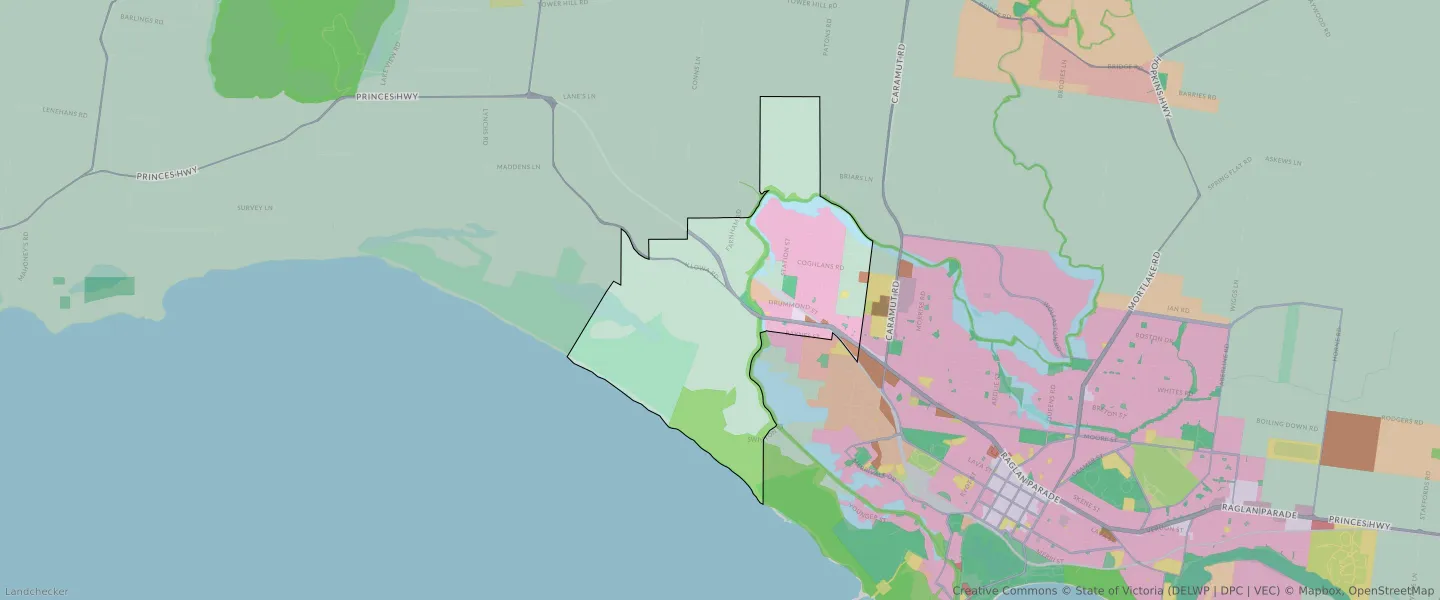
| Zone Code | Zone Name | Percentage Covered | Area Covered | |
|---|---|---|---|---|
| C1Z | COMMERCIAL 1 ZONE | 0.27% | 32,084.36㎡ | |
| FZ | FARMING ZONE | 30.06% | 3,606,006.66㎡ | |
| FZ | FARMING ZONE | 34.92% | 4,189,829.85㎡ | |
| GRZ | GENERAL RESIDENTIAL ZONE | 15.42% | 1,850,155.59㎡ | |
| IN1Z | INDUSTRIAL 1 ZONE | 0.79% | 94,606.29㎡ | |
| IN3Z | INDUSTRIAL 3 ZONE | 0.53% | 63,763.12㎡ | |
| LDRZ | LOW DENSITY RESIDENTIAL ZONE | 0% | 43.95㎡ | |
| PCRZ | PUBLIC CONSERVATION AND RESOURCE ZONE | 12.04% | 1,444,142.25㎡ | |
| PPRZ | PUBLIC PARK AND RECREATION ZONE | 0.76% | 90,619.3㎡ | |
| PUZ | PUBLIC USE ZONE | 0.11% | 13,626.46㎡ | |
| TRZ1 | TRANSPORT ZONE | 0.69% | 82,741.26㎡ | |
| TRZ2 | TRANSPORT ZONE | 0.17% | 20,740.85㎡ | |
| TRZ2 | TRANSPORT ZONE | 1.51% | 181,440.99㎡ | |
| UFZ | URBAN FLOODWAY ZONE | 2.72% | 326,131.21㎡ |
Looking to research a property in DENNINGTON?
Go to mapData Source - ABS