Darnum VIC 3822
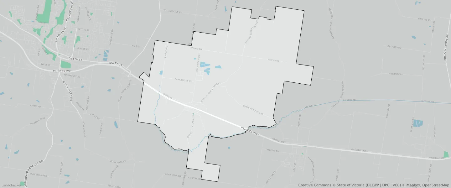
This Darnum suburb profile includes demographic data and planning information to help you make an informed property decision.
An average home in Darnum is owned with a mortgage by couples with children. The average age in Darnum is 41. Separate houses are common in Darnum and the area is mostly FARMING ZONE (94.44%), TOWNSHIP ZONE (2.32%) and TRANSPORT ZONE (1.41%).
Darnum demographics
Population
759
Average Age
41
Age Distribution
Employment Type
Median Weekly Income
Traveled to Work
Car
88.7%
Tram
0.0%
Bicycle
0.0%
Train
0.0%
Walking
1.9%
Bus
2.3%
Darnum property information
Number of Bedrooms
Tenure Type
Property Types in Darnum
Separate house
Semi detached house
Unit/Apartment
Median monthly mortgage repayments
$1,517
Median weekly rental payments
$307
Average number of bedrooms per dwelling
3.5
Average number of people per household
3
Household Composition
Family Composition
Couple family without children
One parent family
Couple family with children
DARNUM planning zones
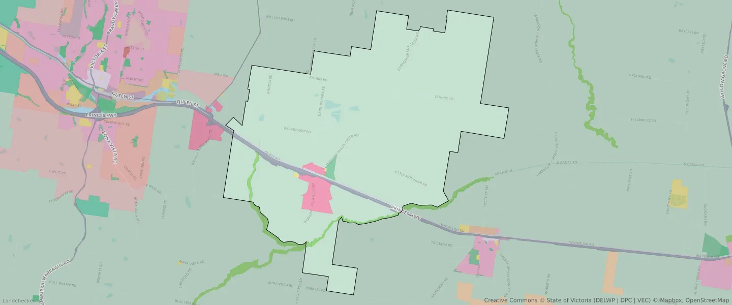
| Zone Code | Zone Name | Percentage Covered | Area Covered | |
|---|---|---|---|---|
| FZ | FARMING ZONE | 94.44% | 36,221,043.16㎡ | |
| PCRZ | PUBLIC CONSERVATION AND RESOURCE ZONE | 0.92% | 354,391.37㎡ | |
| PPRZ | PUBLIC PARK AND RECREATION ZONE | 0.34% | 130,933.65㎡ | |
| PUZ | PUBLIC USE ZONE | 0.05% | 18,557.22㎡ | |
| TRZ1 | TRANSPORT ZONE | 0.51% | 196,917.57㎡ | |
| TRZ2 | TRANSPORT ZONE | 1.41% | 542,196.26㎡ | |
| TZ | TOWNSHIP ZONE | 2.32% | 888,845.71㎡ |
Looking to research a property in DARNUM?
Go to mapData Source - ABS