Dandongadale VIC 3737
This Dandongadale suburb profile includes demographic data and planning information to help you make an informed property decision.
An average home in Dandongadale is other/not stated by group households. The average age in Dandongadale is 25. Units and Apartments are common in Dandongadale and the area is mostly PUBLIC CONSERVATION AND RESOURCE ZONE (94.91%), FARMING ZONE (4%) and RURAL CONSERVATION ZONE (1.09%).
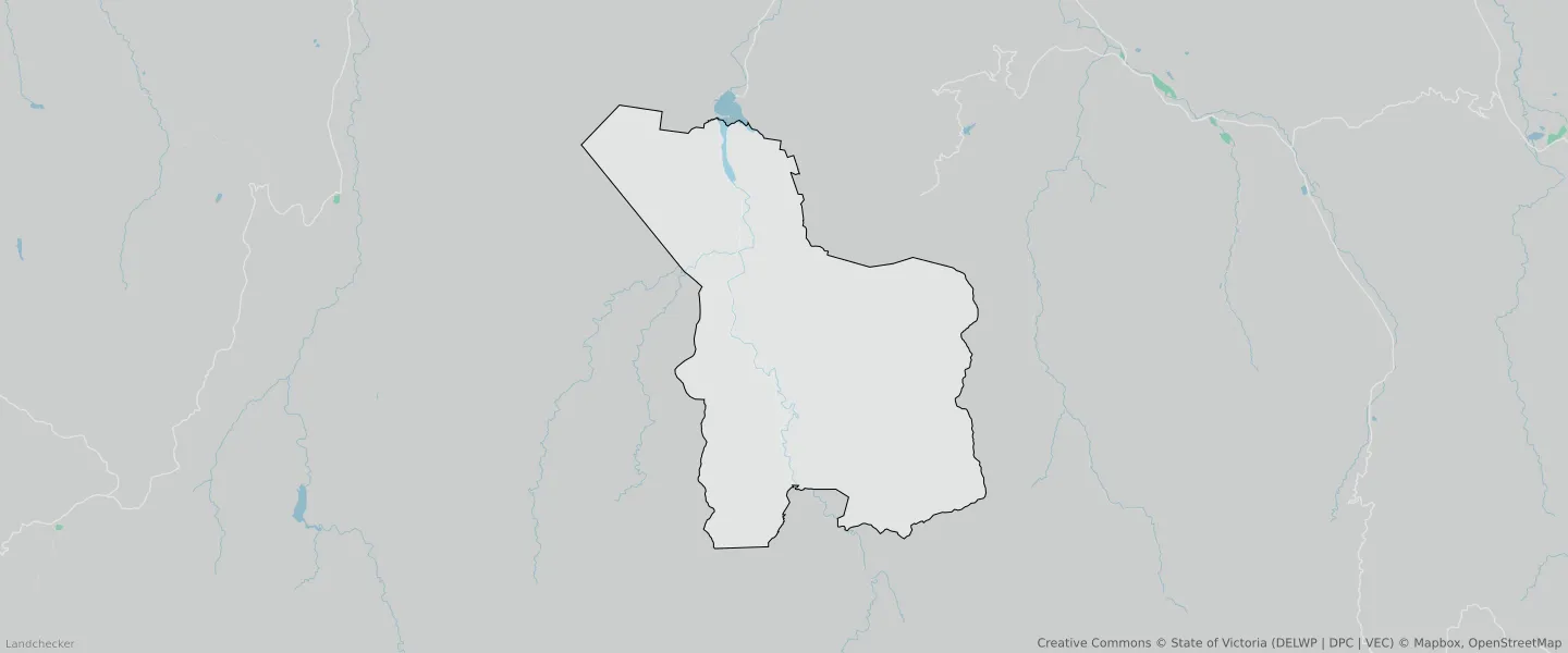
DANDONGADALE planning zones
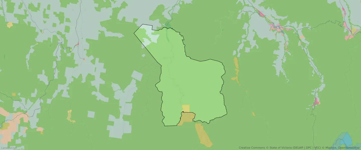
| Zone Code | Zone Name | Percentage Covered | Area Covered | |
|---|---|---|---|---|
| FZ | FARMING ZONE | 4% | 12,068,198.81㎡ | |
| PCRZ | PUBLIC CONSERVATION AND RESOURCE ZONE | 0% | 674.8㎡ | |
| PCRZ | PUBLIC CONSERVATION AND RESOURCE ZONE | 94.91% | 285,749,725.78㎡ | |
| RCZ | RURAL CONSERVATION ZONE | 1.09% | 3,273,454.14㎡ |
Looking to research a property in DANDONGADALE?
Go to mapData Source - ABS