Cowaramup WA 6284
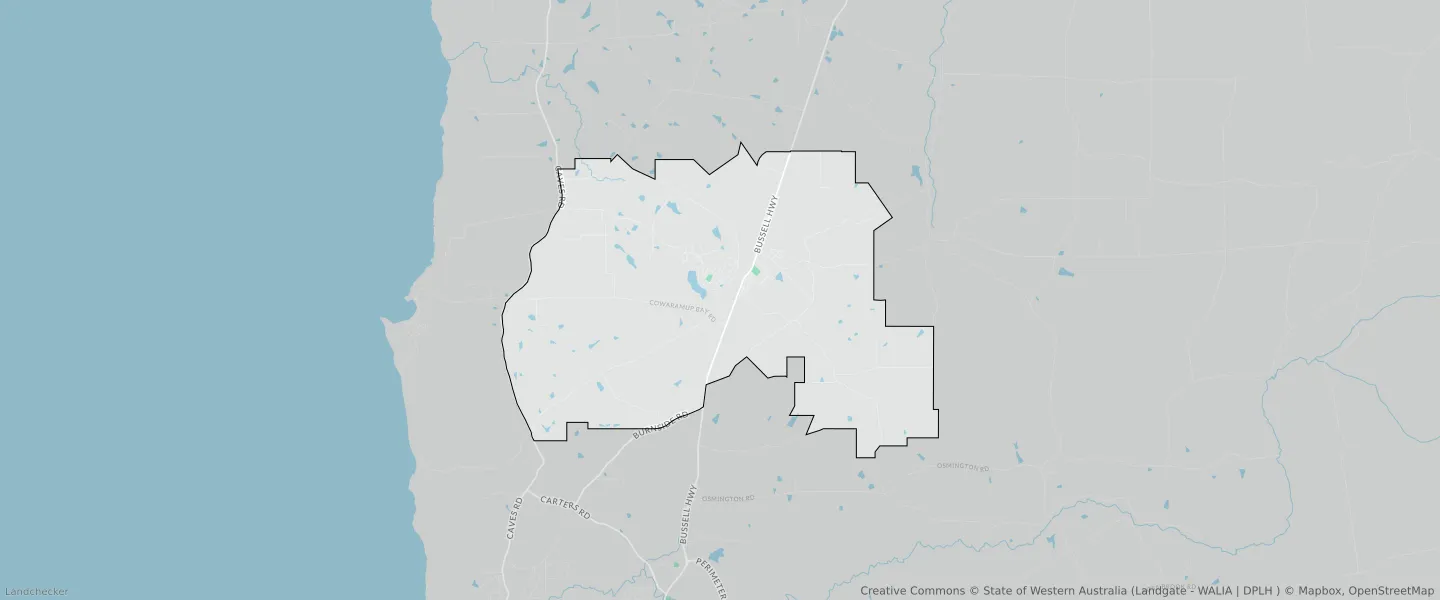
This Cowaramup suburb profile includes demographic data and planning information to help you make an informed property decision.
An average home in Cowaramup is owned with a mortgage by couples with children. The average age in Cowaramup is 39. Separate houses are common in Cowaramup and the area is mostly PRIORITY AGRICULTURE (87.54%), LOCAL ROAD (1.97%) and PARKS AND RECREATION RESERVE (1.4%).
Cowaramup demographics
Population
2482
Average Age
39
Age Distribution
Employment Type
Median Weekly Income
Traveled to Work
Car
84.1%
Tram
0.0%
Bicycle
1.1%
Train
0.0%
Walking
4.4%
Bus
2.4%
Cowaramup property information
Number of Bedrooms
Tenure Type
Property Types in Cowaramup
Separate house
Semi detached house
Unit/Apartment
Median monthly mortgage repayments
$1,950
Median weekly rental payments
$390
Average number of bedrooms per dwelling
3.4
Average number of people per household
3
Household Composition
Family Composition
Couple family without children
One parent family
Couple family with children
COWARAMUP planning zones
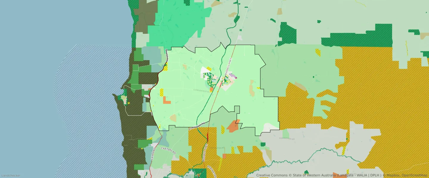
| Zone Code | Zone Name | Percentage Covered | Area Covered | |
|---|---|---|---|---|
| BUSHLAND PROTECTION | BUSHLAND PROTECTION | 1.19% | 1,136,013.19㎡ | |
| CHALET AND CAMPING | CHALET AND CAMPING | 0.01% | 13,141.18㎡ | |
| COMPOSITE INDUSTRY | COMPOSITE INDUSTRY | 0.03% | 27,166.94㎡ | |
| FUTURE DEVELOPMENT | FUTURE DEVELOPMENT | 1.14% | 1,090,519.95㎡ | |
| GENERAL AGRICULTURE | GENERAL AGRICULTURE | 1.28% | 1,227,762.3㎡ | |
| HIGHWAYS AND MAIN ROADS | HIGHWAYS AND MAIN ROADS | 0.4% | 384,351.19㎡ | |
| INDUSTRY | INDUSTRY | 0.15% | 144,573.55㎡ | |
| LEEUWIN NATURALISTE RIDGE LANDSCAPE AMENITY | LEEUWIN NATURALISTE RIDGE LANDSCAPE AMENITY | 0.12% | 110,566.56㎡ | |
| LOCAL ROAD | LOCAL ROAD | 1.97% | 1,887,426.7㎡ | |
| PARKS AND RECREATION | PARKS AND RECREATION | 1.4% | 1,342,145.62㎡ | |
| PARKS AND RECREATION | PARKS AND RECREATION RESERVE | 1.4% | 1,342,145.62㎡ | |
| PRIORITY AGRICULTURE | PRIORITY AGRICULTURE | 87.54% | 83,882,523.07㎡ | |
| PUBLIC PURPOSES | PUBLIC PURPOSES | 0.92% | 878,520.57㎡ | |
| PUBLIC PURPOSES | PUBLIC PURPOSES RESERVE | 0.92% | 878,520.57㎡ | |
| R10 | R10 | 0.14% | 131,145.75㎡ | |
| R12.5 | R12.5 | 0.17% | 160,010.58㎡ | |
| R15 | R15 | 0.32% | 304,022.21㎡ | |
| R2 | R2 | 0.02% | 16,920.63㎡ | |
| R2.5 | R2.5 | 0.05% | 50,634.47㎡ | |
| R30 | R30 | 0.03% | 24,157.43㎡ | |
| R40 | R40 | 0.01% | 11,991.3㎡ | |
| R5 | R5 | 0.43% | 411,455.78㎡ | |
| RESIDENTIAL | RESIDENTIAL | 1.16% | 1,110,040.93㎡ | |
| RURAL RESIDENTIAL | RURAL RESIDENTIAL | 0.47% | 451,072.95㎡ | |
| SPECIAL USE | SPECIAL USE | 0.6% | 574,493.3㎡ | |
| TOURISM | TOURISM | 0.66% | 630,407.48㎡ | |
| TOWN CENTRE | TOWN CENTRE | 0.03% | 31,729.65㎡ | |
| VITICULTURE/TOURISM | VITICULTURE/TOURISM | 0% | 48.37㎡ |
Looking to research a property in COWARAMUP?
Go to mapData Source - ABS