Coolangubra NSW 2550
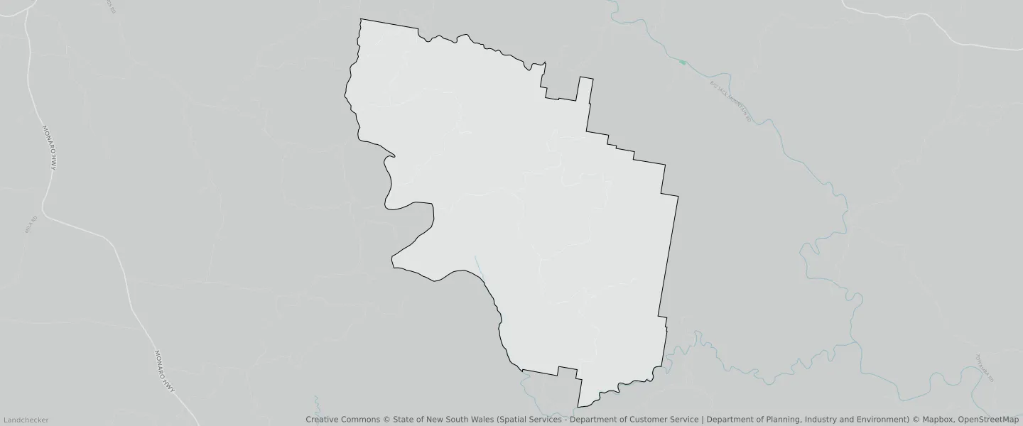
This Coolangubra suburb profile includes demographic data and planning information to help you make an informed property decision.
An average home in Coolangubra is other/not stated by group households. The average age in Coolangubra is 0. Units and Apartments are common in Coolangubra and the area is mostly National Parks and Nature Reserves (84.17%), Forestry (15.2%) and Environmental Conservation (0.57%).
COOLANGUBRA planning zones
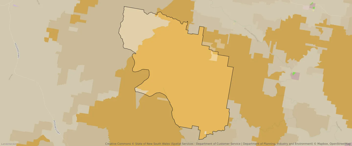
| Zone Code | Zone Name | Percentage Covered | Area Covered | |
|---|---|---|---|---|
| C1 | National Parks and Nature Reserves | 84.17% | 114,187,121.09㎡ | |
| C3 | Environmental Conservation | 0.57% | 773,197.38㎡ | |
| RU2 | Rural Landscape | 0.06% | 86,341.52㎡ | |
| RU3 | Forestry | 15.2% | 20,630,017.16㎡ | |
| RU3 | Forestry | 0% | 15.37㎡ |
Looking to research a property in COOLANGUBRA?
Go to mapData Source - ABS