Cookernup WA 6219
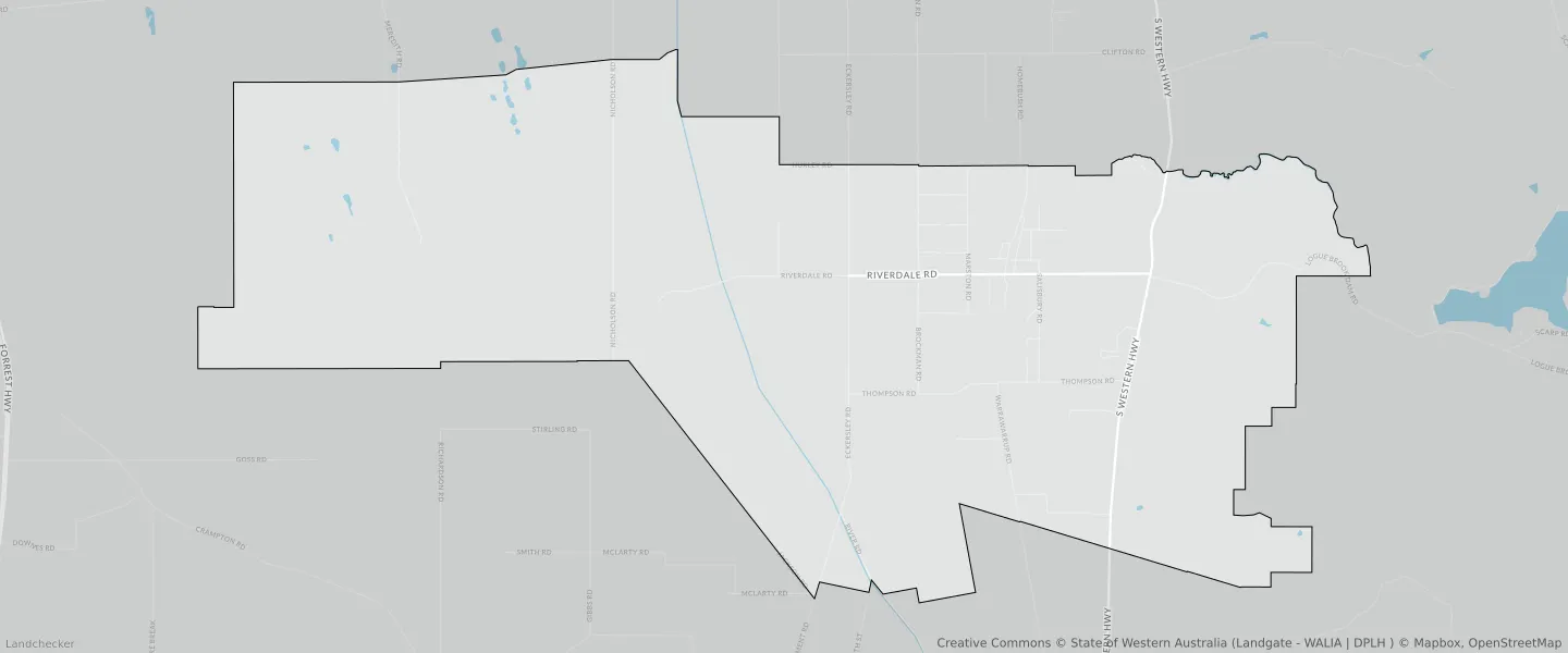
This Cookernup suburb profile includes demographic data and planning information to help you make an informed property decision.
An average home in Cookernup is owned with a mortgage by couples without children. The average age in Cookernup is 46. Separate houses are common in Cookernup and the area is mostly RURAL ZONE (95.16%), RURAL (95.16%) and RURAL ZONE (55.41%).
Cookernup demographics
Population
604
Average Age
46
Age Distribution
Employment Type
Median Weekly Income
Traveled to Work
Car
85.6%
Tram
0.0%
Bicycle
0.0%
Train
0.0%
Walking
2.0%
Bus
1.5%
Cookernup property information
Number of Bedrooms
Tenure Type
Property Types in Cookernup
Separate house
Semi detached house
Unit/Apartment
Median monthly mortgage repayments
$1,900
Median weekly rental payments
$300
Average number of bedrooms per dwelling
3.5
Average number of people per household
3
Household Composition
Family Composition
Couple family without children
One parent family
Couple family with children
COOKERNUP planning zones
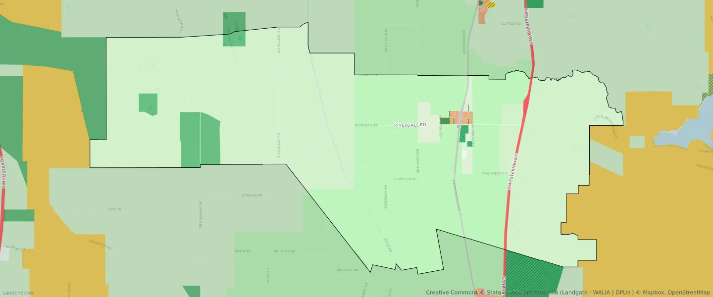
| Zone Code | Zone Name | Percentage Covered | Area Covered | |
|---|---|---|---|---|
| CEMETERY | CEMETERY | 0.04% | 34,456.62㎡ | |
| CIVIC AND COMMUNITY | CIVIC AND COMMUNITY | 0% | 188.23㎡ | |
| COMMERCIAL | COMMERCIAL | 0% | 2,250.19㎡ | |
| DRAINAGE AND WATERWAYS | DRAINAGE AND WATERWAYS | 0.1% | 82,199.32㎡ | |
| EDUCATION | EDUCATION | 0.05% | 40,494.83㎡ | |
| ENVIRONMENTAL CONSERVATION RESERVE | ENVIRONMENTAL CONSERVATION RESERVE | 0.04% | 34,419.7㎡ | |
| INFRASTRUCTURE SERVICES | INFRASTRUCTURE SERVICES | 0.05% | 38,525.45㎡ | |
| LOCAL DISTRIBUTOR ROAD | LOCAL DISTRIBUTOR ROAD | 0.31% | 256,674.89㎡ | |
| LOCAL ROAD | LOCAL ROAD | 2.09% | 1,703,391.41㎡ | |
| NO ZONE | NO ZONE | 0.87% | 714,039.95㎡ | |
| PRIMARY REGIONAL ROADS | PRIMARY REGIONAL ROADS RESERVE | 0.61% | 500,101.78㎡ | |
| PRIORITY AGRICULTURE | PRIORITY AGRICULTURE | 33.11% | 27,028,663.38㎡ | |
| PUBLIC OPEN SPACE | PUBLIC OPEN SPACE | 0.21% | 170,222.98㎡ | |
| R15/30 | R15/30 | 0.25% | 200,501.17㎡ | |
| RAILWAYS | RAILWAYS RESERVE | 0.35% | 282,097.57㎡ | |
| REGIONAL OPEN SPACE | REGIONAL OPEN SPACE | 3.46% | 2,827,655.61㎡ | |
| REGIONAL OPEN SPACE | REGIONAL OPEN SPACE RESERVE | 3.46% | 2,827,655.61㎡ | |
| RESIDENTIAL | RESIDENTIAL | 0.25% | 200,501.17㎡ | |
| RURAL | RURAL | 55.41% | 45,241,396.4㎡ | |
| RURAL | RURAL | 95.16% | 77,692,106.54㎡ | |
| RURAL | RURAL ZONE | 55.41% | 45,241,396.4㎡ | |
| RURAL | RURAL ZONE | 95.16% | 77,692,106.54㎡ | |
| RURAL RESIDENTIAL | RURAL RESIDENTIAL | 3.02% | 2,465,377.55㎡ | |
| STATE FORESTS | STATE FORESTS RESERVE | 0% | 358.94㎡ | |
| URBAN | URBAN | 0.41% | 337,956.39㎡ | |
| URBAN | URBAN ZONE | 0.41% | 337,956.39㎡ |
Looking to research a property in COOKERNUP?
Go to mapData Source - ABS