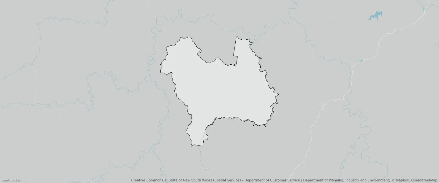
Chaelundi NSW 2460
This Chaelundi suburb profile includes demographic data and planning information to help you make an informed property decision.
An average home in Chaelundi is other/not stated by group households. The average age in Chaelundi is 0. Units and Apartments are common in Chaelundi and the area is mostly National Parks and Nature Reserves (51.6%), Forestry (48.4%) and Environmental Conservation (0%).
CHAELUNDI planning zones
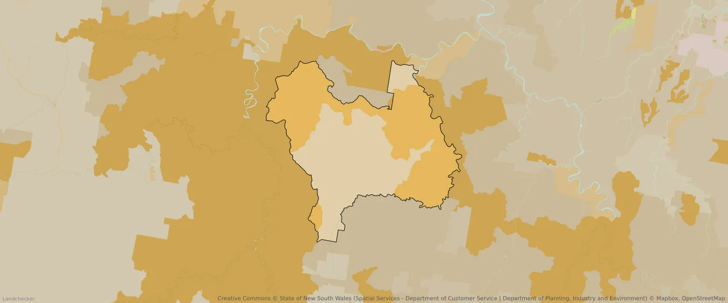
| Zone Code | Zone Name | Percentage Covered | Area Covered | |
|---|---|---|---|---|
| C1 | National Parks and Nature Reserves | 51.6% | 169,957,878.7㎡ | |
| C3 | Environmental Conservation | 0% | 12,254.76㎡ | |
| RU3 | Forestry | 48.4% | 159,354,585.4㎡ |
Looking to research a property in CHAELUNDI?
Go to mapData Source - ABS