Carrai NSW 2440
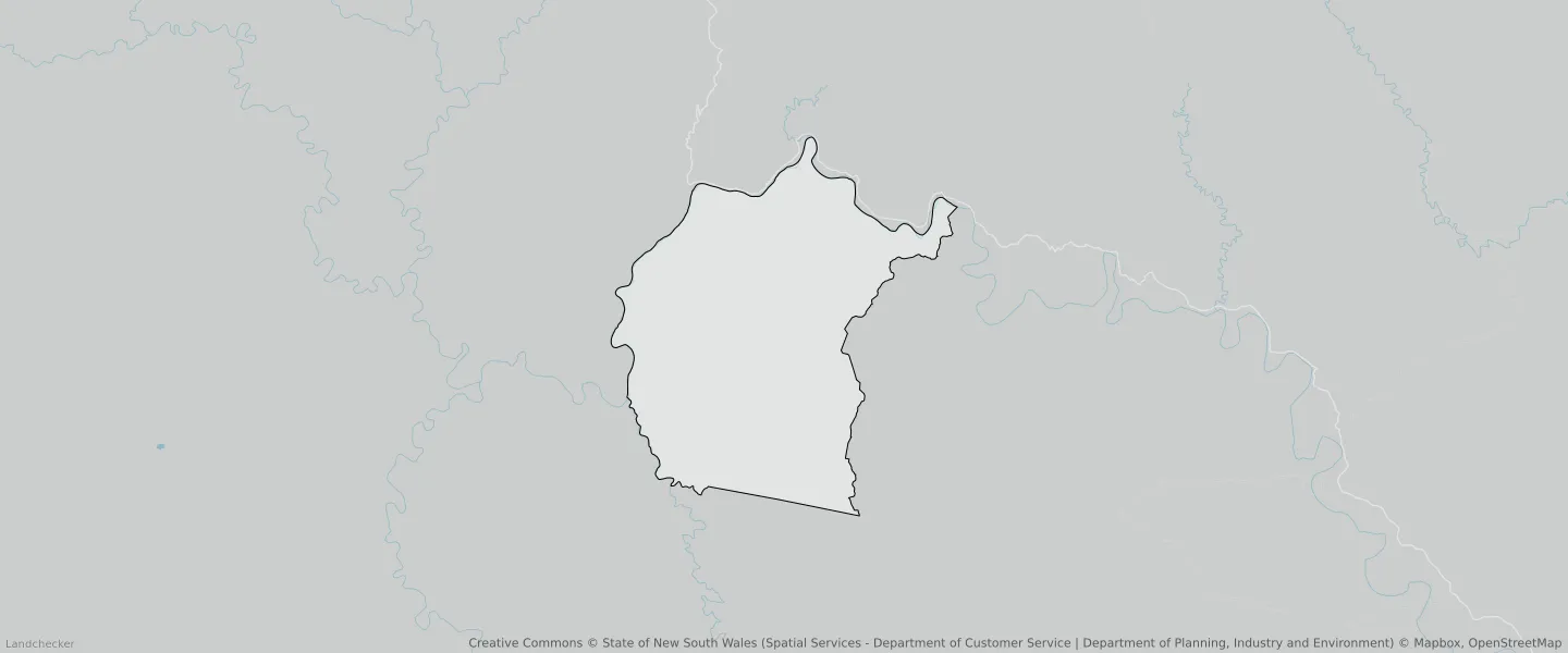
This Carrai suburb profile includes demographic data and planning information to help you make an informed property decision.
An average home in Carrai is other/not stated by group households. The average age in Carrai is 0. Units and Apartments are common in Carrai and the area is mostly National Parks and Nature Reserves (60.75%), Primary Production (38.34%) and Forestry (0.91%).
CARRAI planning zones
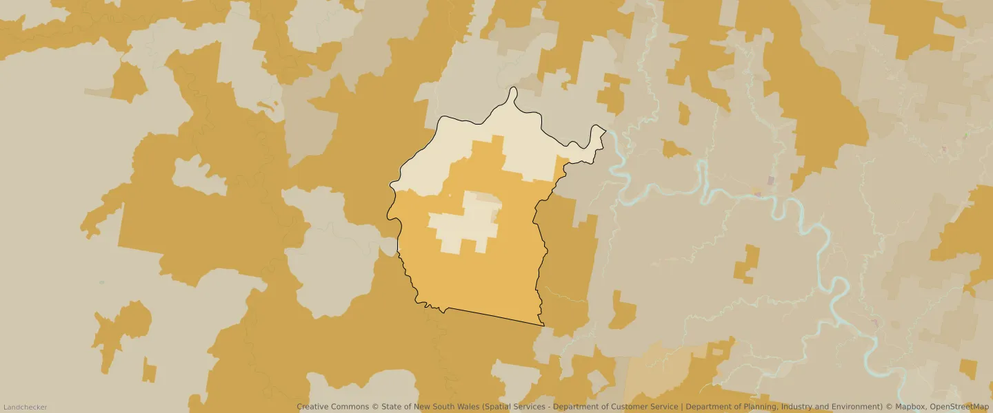
| Zone Code | Zone Name | Percentage Covered | Area Covered | |
|---|---|---|---|---|
| C1 | National Parks and Nature Reserves | 60.75% | 156,301,245.29㎡ | |
| RU1 | Primary Production | 38.34% | 98,691,307.23㎡ | |
| RU2 | Rural Landscape | 0% | 47.44㎡ | |
| RU3 | Forestry | 0.91% | 2,347,739.33㎡ |
Looking to research a property in CARRAI?
Go to mapData Source - ABS