Cardup WA 6122
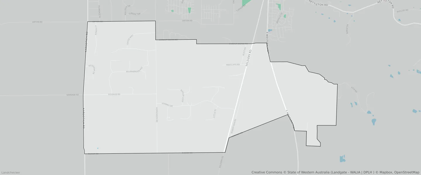
This Cardup suburb profile includes demographic data and planning information to help you make an informed property decision.
An average home in Cardup is owned with a mortgage by couples with children. The average age in Cardup is 40. Separate houses are common in Cardup and the area is mostly RURAL ZONE (72.84%), RURAL (72.84%) and RURAL RESIDENTIAL (33.78%).
Cardup demographics
Population
1163
Average Age
40
Age Distribution
Employment Type
Median Weekly Income
Traveled to Work
Car
85.3%
Tram
0.0%
Bicycle
0.0%
Train
2.7%
Walking
1.5%
Bus
0.0%
Cardup property information
Number of Bedrooms
Tenure Type
Property Types in Cardup
Separate house
Semi detached house
Unit/Apartment
Median monthly mortgage repayments
$2,383
Median weekly rental payments
$500
Average number of bedrooms per dwelling
4.0
Average number of people per household
3
Household Composition
Family Composition
Couple family without children
One parent family
Couple family with children
CARDUP planning zones
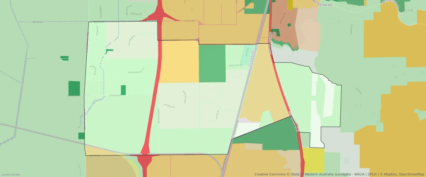
| Zone Code | Zone Name | Percentage Covered | Area Covered | |
|---|---|---|---|---|
| DRAINAGE AND WATERWAYS | DRAINAGE AND WATERWAYS | 0.85% | 161,199.07㎡ | |
| INDUSTRIAL | INDUSTRIAL | 9.51% | 1,808,427.49㎡ | |
| INDUSTRIAL | INDUSTRIAL ZONE | 9.51% | 1,808,427.49㎡ | |
| INDUSTRIAL DEVELOPMENT | INDUSTRIAL DEVELOPMENT | 9.42% | 1,792,062.9㎡ | |
| INFRASTRUCTURE SERVICES | INFRASTRUCTURE SERVICES | 0.5% | 95,410㎡ | |
| LOCAL DISTRIBUTOR ROAD | LOCAL DISTRIBUTOR ROAD | 0.54% | 102,373.12㎡ | |
| LOCAL ROAD | LOCAL ROAD | 2.56% | 486,054.98㎡ | |
| OTHER REGIONAL ROADS | OTHER REGIONAL ROADS RESERVE | 0.09% | 16,651.21㎡ | |
| PRIMARY DISTRIBUTOR ROAD | PRIMARY DISTRIBUTOR ROAD | 0.94% | 179,152.15㎡ | |
| PRIMARY REGIONAL ROADS | PRIMARY REGIONAL ROADS RESERVE | 2.56% | 485,932.7㎡ | |
| PUBLIC OPEN SPACE | PUBLIC OPEN SPACE | 0.49% | 93,932.18㎡ | |
| RAILWAYS | RAILWAYS RESERVE | 1.6% | 304,719.7㎡ | |
| REGIONAL OPEN SPACE | REGIONAL OPEN SPACE | 3.94% | 748,467.51㎡ | |
| REGIONAL OPEN SPACE | REGIONAL OPEN SPACE RESERVE | 3.94% | 748,467.51㎡ | |
| RURAL | RURAL | 30.03% | 5,711,203.6㎡ | |
| RURAL | RURAL | 72.84% | 13,854,092.77㎡ | |
| RURAL | RURAL ZONE | 30.03% | 5,711,203.6㎡ | |
| RURAL | RURAL ZONE | 72.84% | 13,854,092.77㎡ | |
| RURAL RESIDENTIAL | RURAL RESIDENTIAL | 33.78% | 6,424,275.02㎡ | |
| SPECIAL USE | SPECIAL USE | 3.97% | 754,644.38㎡ | |
| URBAN | URBAN | 9.18% | 1,746,867.56㎡ | |
| URBAN | URBAN ZONE | 9.18% | 1,746,867.56㎡ | |
| URBAN DEFERRED | URBAN DEFERRED ZONE | 0.28% | 54,044.54㎡ | |
| URBAN DEVELOPMENT | URBAN DEVELOPMENT | 8.85% | 1,682,325.51㎡ |
Looking to research a property in CARDUP?
Go to mapData Source - ABS