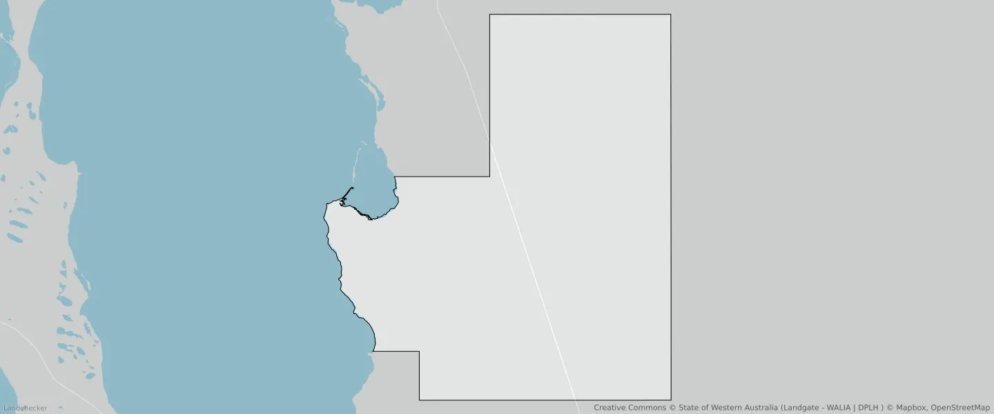
Carbla WA 6701
This Carbla suburb profile includes demographic data and planning information to help you make an informed property decision.
An average home in Carbla is other/not stated by group households. The average age in Carbla is 0. Units and Apartments are common in Carbla and the area is mostly RURAL ZONE (99.18%), RURAL (99.18%) and PRIMARY DISTRIBUTOR ROAD (0.57%).
CARBLA planning zones
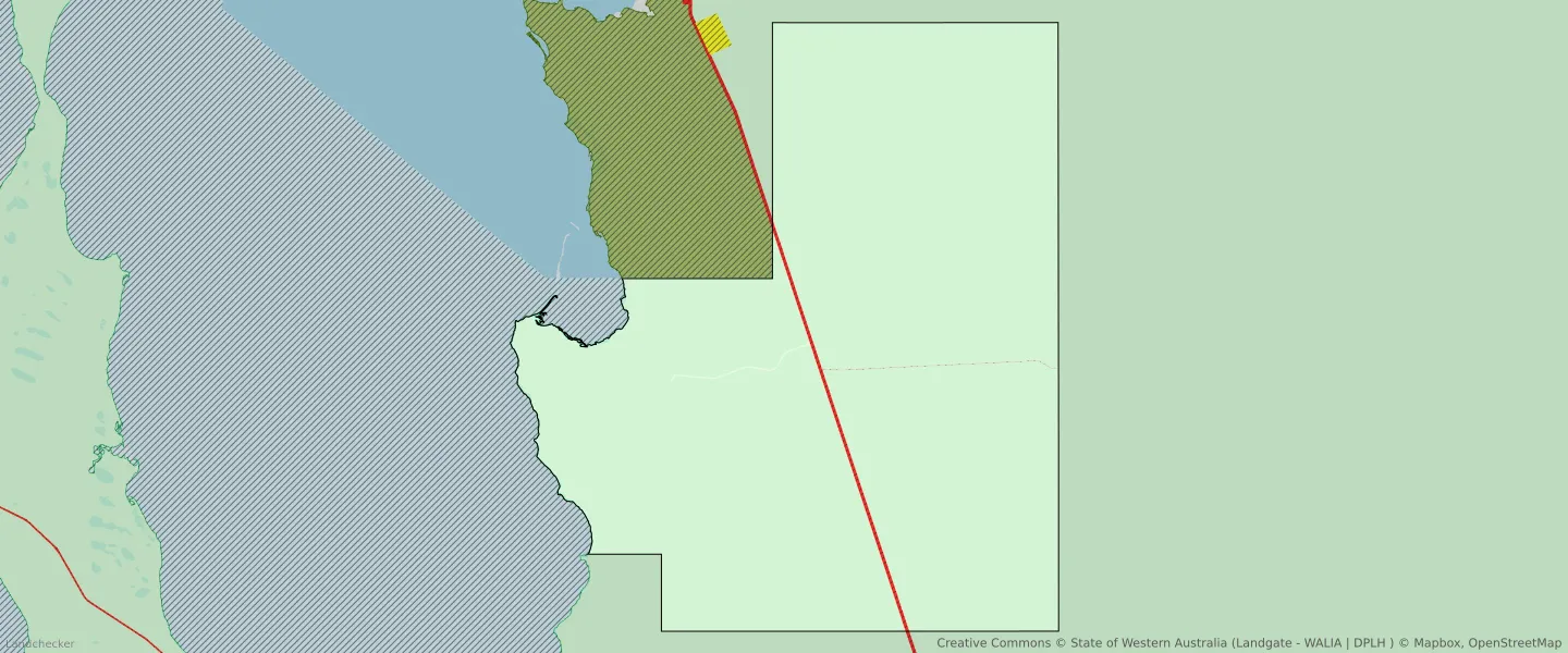
| Zone Code | Zone Name | Percentage Covered | Area Covered | |
|---|---|---|---|---|
| LOCAL DISTRIBUTOR ROAD | LOCAL DISTRIBUTOR ROAD | 0.03% | 301,970.05㎡ | |
| LOCAL ROAD | LOCAL ROAD | 0.06% | 587,433.81㎡ | |
| PRIMARY DISTRIBUTOR ROAD | PRIMARY DISTRIBUTOR ROAD | 0.57% | 5,391,610.36㎡ | |
| PUBLIC OPEN SPACE | PUBLIC OPEN SPACE | 0.16% | 1,535,566.18㎡ | |
| RURAL | RURAL | 0% | 25.13㎡ | |
| RURAL | RURAL | 99.18% | 944,793,959.98㎡ | |
| RURAL | RURAL ZONE | 0% | 25.13㎡ | |
| RURAL | RURAL ZONE | 99.18% | 944,793,959.98㎡ |
Looking to research a property in CARBLA?
Go to mapData Source - ABS