Calder Park VIC 3037
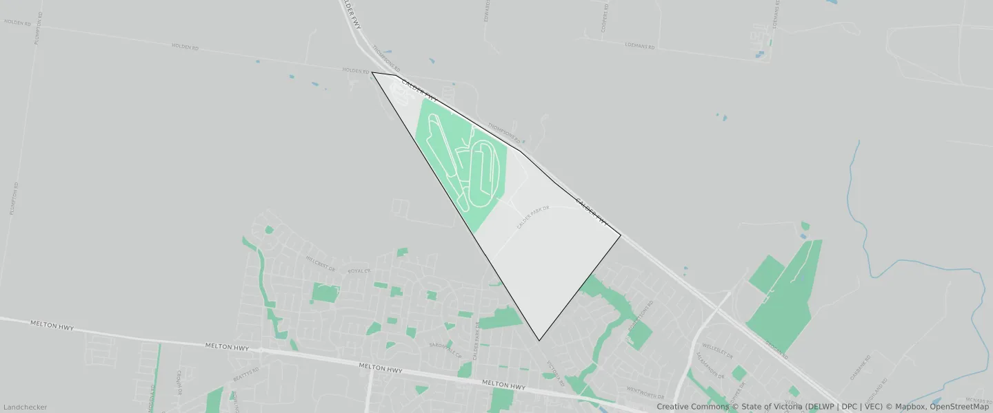
This Calder Park suburb profile includes demographic data and planning information to help you make an informed property decision.
An average home in Calder Park is other/not stated by group households. The average age in Calder Park is 0. Units and Apartments are common in Calder Park and the area is mostly SPECIAL USE ZONE (48.27%), INDUSTRIAL 3 ZONE (38.55%) and TRANSPORT ZONE (5.61%).
CALDER PARK planning zones
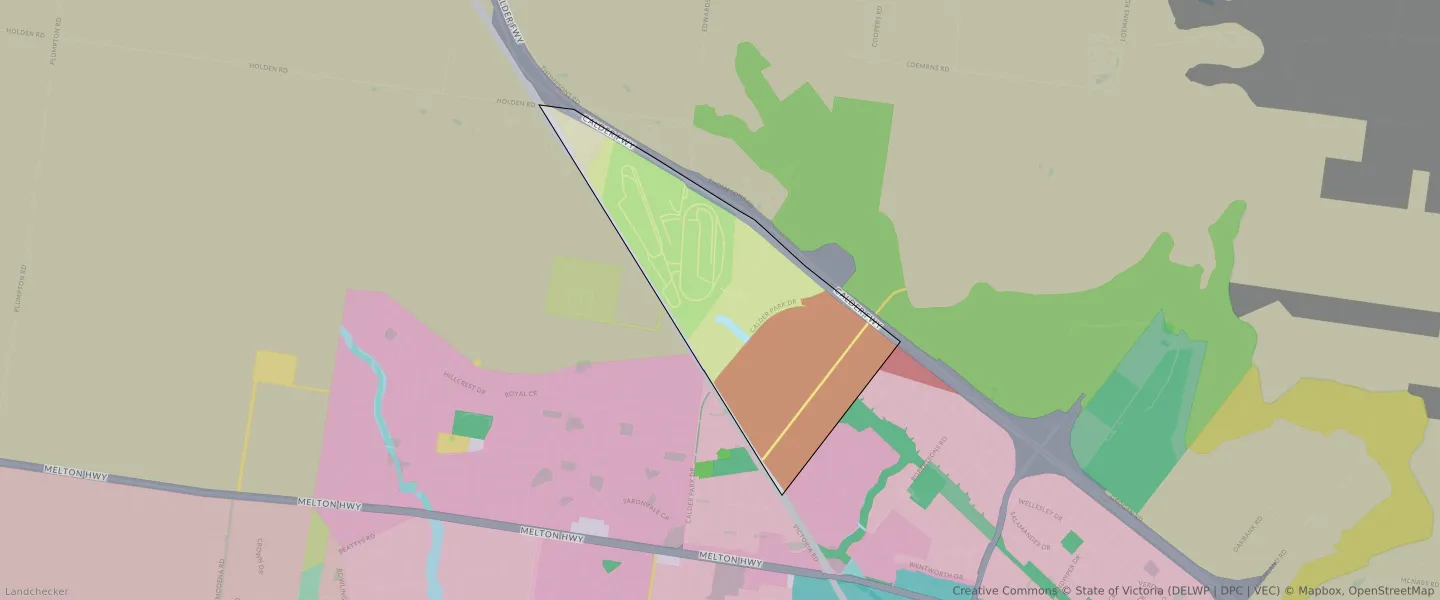
| Zone Code | Zone Name | Percentage Covered | Area Covered | |
|---|---|---|---|---|
| GWZ | GREEN WEDGE ZONE | 3.19% | 87,384.32㎡ | |
| IN3Z | INDUSTRIAL 3 ZONE | 38.55% | 1,054,471.7㎡ | |
| MUZ | MIXED USE ZONE | 0% | 69.24㎡ | |
| NRZ | NEIGHBOURHOOD RESIDENTIAL ZONE | 0% | 28.41㎡ | |
| PUZ | PUBLIC USE ZONE | 0.96% | 26,146.15㎡ | |
| SUZ | SPECIAL USE ZONE | 48.27% | 1,320,478.17㎡ | |
| TRZ1 | TRANSPORT ZONE | 0.01% | 174.66㎡ | |
| TRZ1 | TRANSPORT ZONE | 2.72% | 74,530.77㎡ | |
| TRZ2 | TRANSPORT ZONE | 5.61% | 153,456.68㎡ | |
| UFZ | URBAN FLOODWAY ZONE | 0.69% | 18,752.55㎡ |
Looking to research a property in CALDER PARK?
Go to mapData Source - ABS