Burrup WA 6714
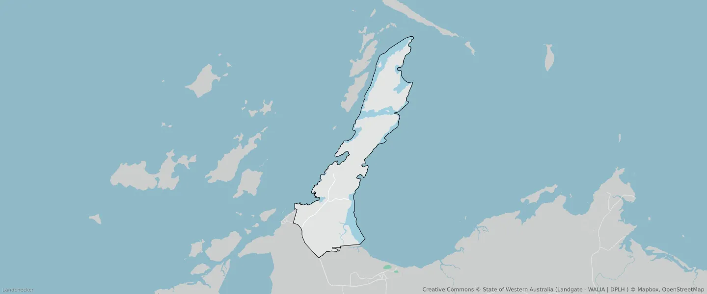
This Burrup suburb profile includes demographic data and planning information to help you make an informed property decision.
An average home in Burrup is other/not stated by group households. The average age in Burrup is 43. Units and Apartments are common in Burrup and the area is mostly CONSERVATION RECREATION AND NATURAL LANDSCAPES (56.58%), STRATEGIC INDUSTRY (15.13%) and RURAL ZONE (7.53%).
BURRUP planning zones
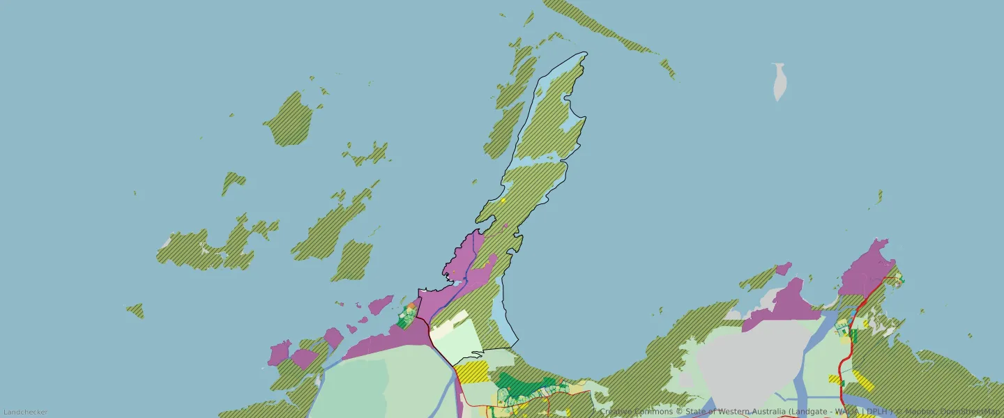
| Zone Code | Zone Name | Percentage Covered | Area Covered | |
|---|---|---|---|---|
| CONSERVATION RECREATION AND NATURAL LANDSCAPES | CONSERVATION RECREATION AND NATURAL LANDSCAPES | 56.58% | 100,527,902.9㎡ | |
| DISTRICT ROADS | DISTRICT ROADS | 0.6% | 1,064,687.99㎡ | |
| INDUSTRIAL DEVELOPMENT | INDUSTRIAL DEVELOPMENT | 2.42% | 4,289,403.73㎡ | |
| INFRASTRUCTURE | INFRASTRUCTURE | 0.05% | 81,967.32㎡ | |
| PUBLIC PURPOSES | PUBLIC PURPOSES | 0.2% | 348,998.99㎡ | |
| PUBLIC PURPOSES | PUBLIC PURPOSES RESERVE | 0.2% | 348,998.99㎡ | |
| RURAL | RURAL | 7.53% | 13,370,555.32㎡ | |
| RURAL | RURAL ZONE | 7.53% | 13,370,555.32㎡ | |
| STATE AND REGIONAL ROADS | STATE AND REGIONAL ROADS | 0.18% | 326,719.35㎡ | |
| STRATEGIC INDUSTRY | STRATEGIC INDUSTRY | 15.13% | 26,878,005.17㎡ |
Looking to research a property in BURRUP?
Go to mapData Source - ABS