Burramine VIC 3730
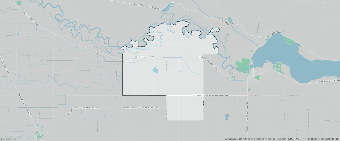
This Burramine suburb profile includes demographic data and planning information to help you make an informed property decision.
An average home in Burramine is owned with a mortgage by couples with children. The average age in Burramine is 39. Separate houses are common in Burramine and the area is mostly FARMING ZONE (63.61%), PUBLIC CONSERVATION AND RESOURCE ZONE (18.85%) and RURAL ACTIVITY ZONE (16.58%).
Burramine demographics
Population
241
Average Age
39
Age Distribution
Employment Type
Median Weekly Income
Traveled to Work
Car
78.9%
Tram
0.0%
Bicycle
0.0%
Train
0.0%
Walking
15.8%
Bus
0.0%
Burramine property information
Number of Bedrooms
Tenure Type
Property Types in Burramine
Separate house
Semi detached house
Unit/Apartment
Median monthly mortgage repayments
$1,458
Median weekly rental payments
$253
Average number of bedrooms per dwelling
3.5
Average number of people per household
3
Household Composition
Family Composition
Couple family without children
One parent family
Couple family with children
BURRAMINE planning zones
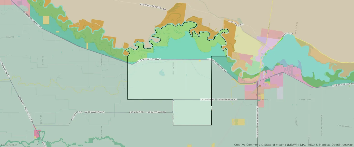
| Zone Code | Zone Name | Percentage Covered | Area Covered | |
|---|---|---|---|---|
| FZ | FARMING ZONE | 63.61% | 67,887,726.28㎡ | |
| LDRZ | LOW DENSITY RESIDENTIAL ZONE | 0.07% | 75,982.06㎡ | |
| PCRZ | PUBLIC CONSERVATION AND RESOURCE ZONE | 18.85% | 20,133,152.72㎡ | |
| PUZ | PUBLIC USE ZONE | 0.04% | 44,738.85㎡ | |
| RAZ | RURAL ACTIVITY ZONE | 16.58% | 17,703,691.5㎡ | |
| TRZ2 | TRANSPORT ZONE | 0.84% | 900,649.98㎡ |
Looking to research a property in BURRAMINE?
Go to mapData Source - ABS