Buraminya WA 6452
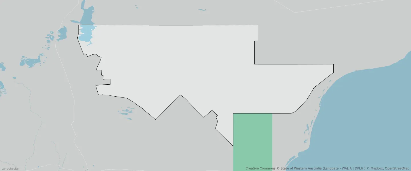
This Buraminya suburb profile includes demographic data and planning information to help you make an informed property decision.
An average home in Buraminya is other/not stated by group households. The average age in Buraminya is 0. Units and Apartments are common in Buraminya and the area is mostly RURAL ZONE (73%), RURAL (73%) and ENVIRONMENTAL CONSERVATION RESERVE (26.93%).
BURAMINYA planning zones
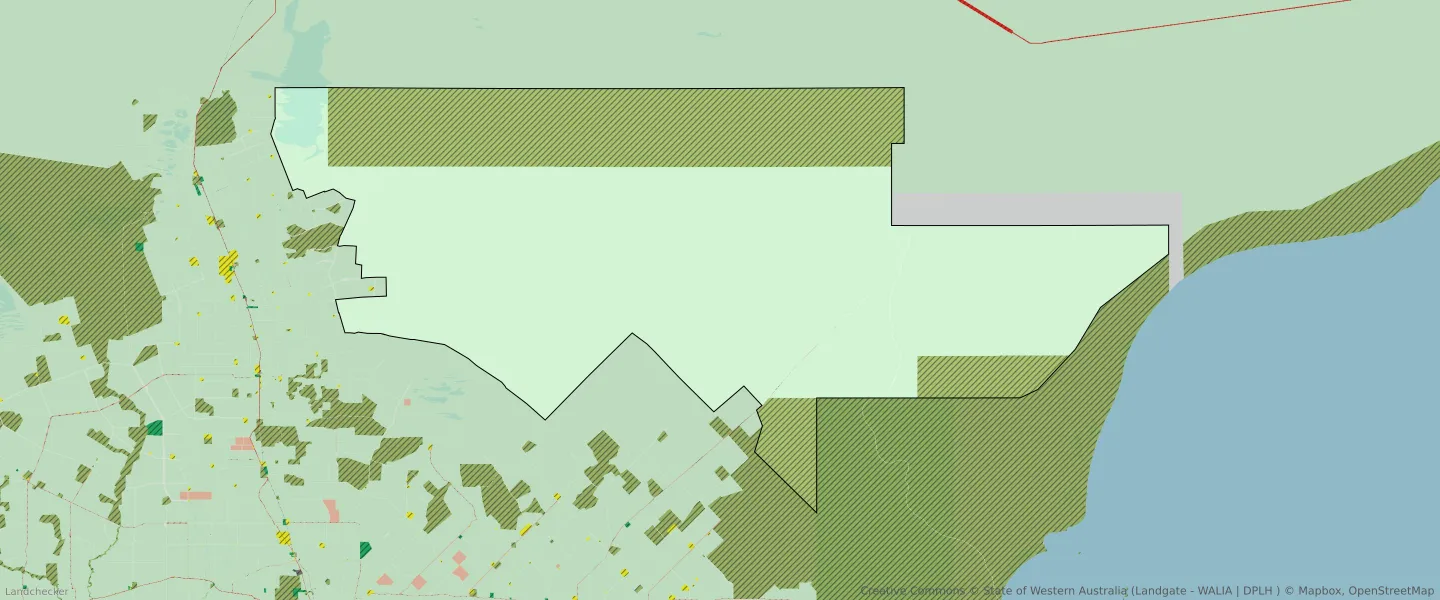
| Zone Code | Zone Name | Percentage Covered | Area Covered | |
|---|---|---|---|---|
| ENVIRONMENTAL CONSERVATION RESERVE | ENVIRONMENTAL CONSERVATION RESERVE | 26.93% | 3,642,108,199.21㎡ | |
| LOCAL DISTRIBUTOR ROAD | LOCAL DISTRIBUTOR ROAD | 0.01% | 1,770,768.87㎡ | |
| LOCAL ROAD | LOCAL ROAD | 0.06% | 8,214,610.04㎡ | |
| RURAL | RURAL | 0% | 69.92㎡ | |
| RURAL | RURAL | 73% | 9,851,480,483.15㎡ | |
| RURAL | RURAL ZONE | 0% | 69.92㎡ | |
| RURAL | RURAL ZONE | 73% | 9,851,480,483.15㎡ |
Looking to research a property in BURAMINYA?
Go to mapData Source - ABS