Bungil VIC 3691
This Bungil suburb profile includes demographic data and planning information to help you make an informed property decision.
An average home in Bungil is other/not stated by group households. The average age in Bungil is 71. Units and Apartments are common in Bungil and the area is mostly PUBLIC CONSERVATION AND RESOURCE ZONE (67.33%), RURAL ACTIVITY ZONE (28.09%) and PUBLIC USE ZONE (4.12%).
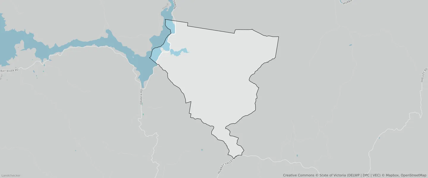
BUNGIL planning zones
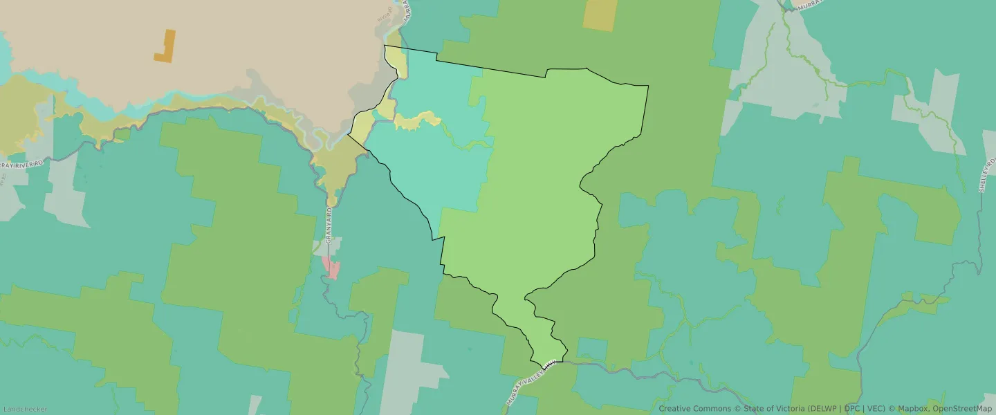
| Zone Code | Zone Name | Percentage Covered | Area Covered | |
|---|---|---|---|---|
| PCRZ | PUBLIC CONSERVATION AND RESOURCE ZONE | 67.33% | 64,568,896.96㎡ | |
| PUZ | PUBLIC USE ZONE | 4.12% | 3,952,640.47㎡ | |
| RAZ | RURAL ACTIVITY ZONE | 28.09% | 26,942,775.72㎡ | |
| TRZ2 | TRANSPORT ZONE | 0.47% | 448,979.97㎡ |
Looking to research a property in BUNGIL?
Go to mapData Source - ABS