Buangla NSW 2540
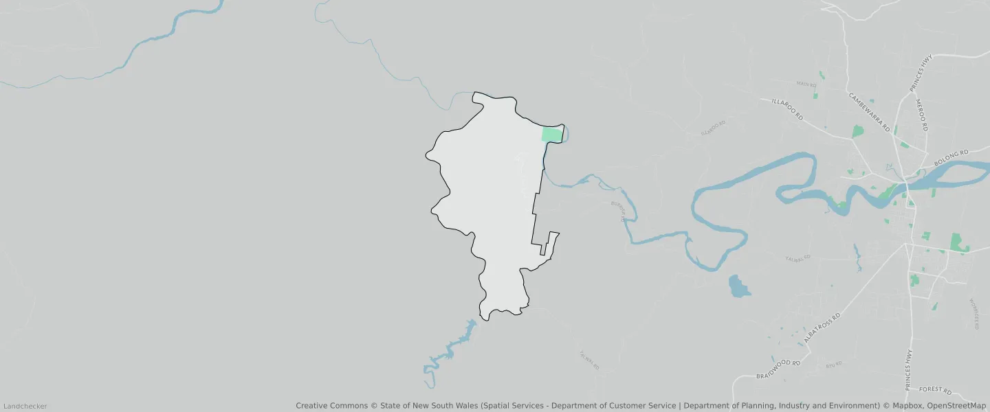
This Buangla suburb profile includes demographic data and planning information to help you make an informed property decision.
An average home in Buangla is other/not stated by group households. The average age in Buangla is 0. Units and Apartments are common in Buangla and the area is mostly National Parks and Nature Reserves (95.54%), Environmental Conservation (2.86%) and Environmental Living (1.59%).
BUANGLA planning zones
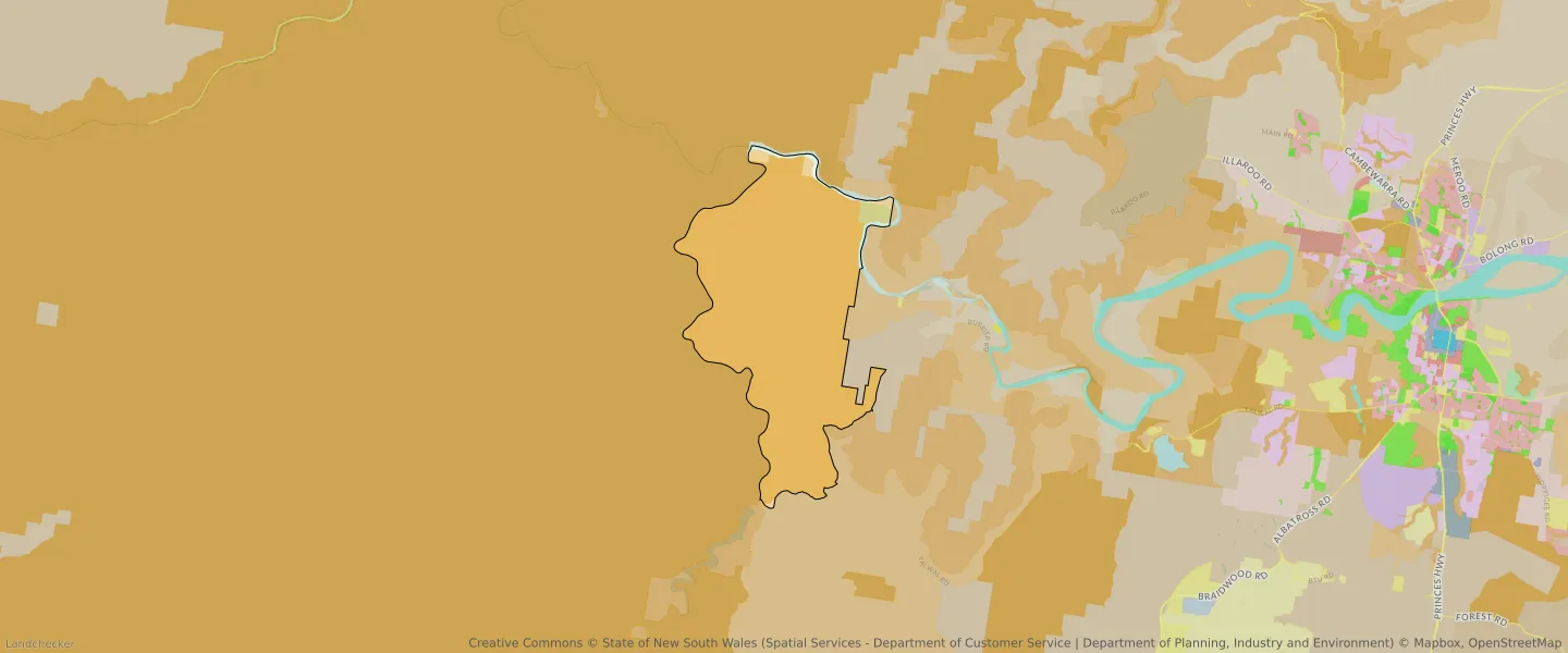
| Zone Code | Zone Name | Percentage Covered | Area Covered | |
|---|---|---|---|---|
| C1 | National Parks and Nature Reserves | 95.54% | 33,110,016.5㎡ | |
| C2 | Environmental Conservation | 0.01% | 3,109.9㎡ | |
| C3 | Environmental Conservation | 2.86% | 992,237.48㎡ | |
| RU2 | Rural Landscape | 0% | 122.35㎡ | |
| W1 | Environmental Living | 1.59% | 550,894.79㎡ |
Looking to research a property in BUANGLA?
Go to mapData Source - ABS